Global leader in flood and climate risk
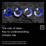
The role of data: Key to understanding climate risk
Navigating global flood risk in a non-stationary world – A primer for actuaries

Metadata — Fathom’s first-of-its-kind assessment of flood risk data certainty
Climate resilience in emerging markets and the power of data – May 23

Swiss Re acquires Fathom, global leader in water risk intelligence

Introducing FABDEM+ – the new standard for a globally consistent and accurate digital elevation model
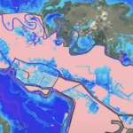
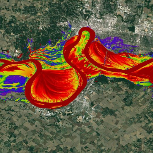
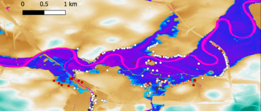
New US Flood Map – The most complete and technologically advanced flood map for the United States

Fathom Risk Scores – Powerful flood risk metrics for any global location, under any climate scenario
Flood risk as a measure of asset value, panel webinar.
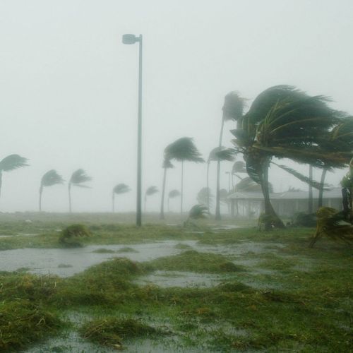
Climate change is
happening now
Fathom’s cutting-edge products support you to understand what impact this has on your flood risk both now and in the future. Our solutions are well established within the industry and set a new benchmark in global flood mapping.

Sectors Fathom has been providing high quality flood risk intelligence across a wide range of sectors since 2013


Research papers Academic scrutiny of our products gives our clients the reassurance that they are consuming trusted and transparent data from the forefront of science
Fundamental limits to flood inundation modeling
In this article, Fathom’s Chairman Professor Paul Bates explores the limits to flood inundation modeling, and explains why it’s still difficult to accurately predict flood hazards at the scale of individual buildings.
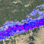
A climate conditioned catastrophe risk model for UK flooding
New research from Bates et al. describes the creation of a transparent flood model for the UK that simulates pluvial, fluvial and coastal flood risks for 10 different return periods.
Co-occurring wintertime flooding and extreme wind over Europe, from daily to seasonal timescales
Why and when do floods and extreme wind occur together? Will climate change make this happen more frequently? This research sets out to understand the correlations between flood and wind extremes and the impact they have on risk.
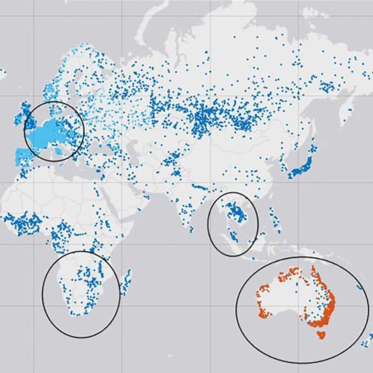
Caravan – A global community dataset for large-sample hydrology
Published in the peer-reviewed journal Scientific Data, the paper outlines the team’s vision for Caravan to expand, evolve and provide “the most direct path” to a truly open global hydrological dataset.
Comparison of estimated flood exposure and consequences generated by different event-based inland flood inundation maps
New research from Gutenson, J. L. and others, including Fathom’s Chief Research Officer Dr Oliver Wing, compares the estimated impact and exposure to flooding generated by different event-based flood inundation maps.
Use of hydrological models in global stochastic flood modeling
An investigation into the effectiveness of using synthetic gauge data from global hydrological models as input data for global stochastic modeling.
Fathom insights
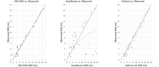
Iowa Flood Center validation project: Benchmarking Fathom’s US Flood Map