Risk Scores, developed as part of our Global Flood Map, offer a simple yet powerful way to compare the flood risk for assets across your portfolio. Risk professionals use the scores when detailed flood depth data is not required or is too complex and time-consuming to process for a particular risk workflow.
Available in two forms, Relative Risk and Risk Category, the metrics are designed to deliver a consistent method of understanding how flood risk varies from one location to another.
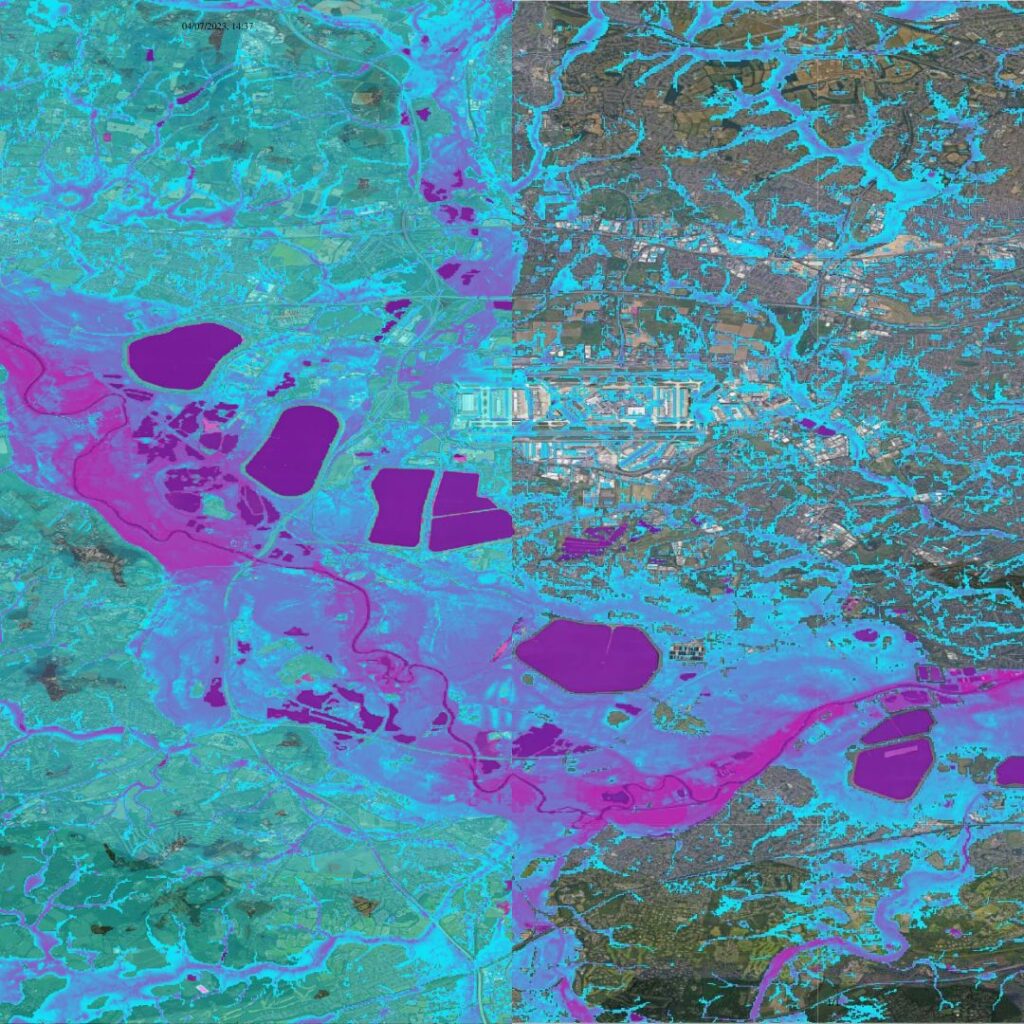
Flood risk scores for management and reporting
Risk Scores enable a detailed view of the risk to a single asset as well as a high-level view of the risk to an entire portfolio. The data has a wide range of uses across insurance, engineering, international development and financial markets.
Our flood risk scores can be utilized in risk management and reporting, including:
- Portfolio screening
- Investment due diligence
- Pricing or valuing of assets
- Underwriting
- Regulatory compliance
The scores offer flexibility to the user. They allow them to select any set of asset locations, for any major flood peril or time horizon, for any climate scenario, for any point on the planet.
Risk Scores distill a huge amount of information into simple and easy-to-consume flood risk metrics. This enables a clearer and more efficient approach to risk assessment.
Key features of Fathom’s Risk Scores
Multi peril
Choose between several different sub-peril combinations including single peril, inland or all perils.
Climate Dynamics
Users can access climate conditioned flood hazard data for any projected combination of future year and climate scenario up to 2100.
Access
Available via Fathom API, Fathom Portal, direct provision, or partners.
Metric type
Available in two variations: Relative Risk and Risk Category.
Powerful yet simple
Distilling information from: depths at a range of frequencies, depth/damage relationships, defense fragility and standards of protections into easy to consume scores.
Validated, scientifically robust
Fathom’s methodology is underpinned by the science of flood modeling. It’s transparent and peer-reviewed in the most authoritative academic journals.
Discover how leading international businesses are applying Fathom’s data to their projects

About Relative Risk
Relative Risk combines flood depth, frequency, sub-peril and defense information. The result is a number that ranges from 0 to 1,000,000 and can be used as an Annual Average Loss, for a uniform exposure type, to determine the flood risk at any given point on the planet.
Depending on your needs, Fathom can provide Relative Risk as several different sub-peril combinations:
- Single peril (fluvial, pluvial or coastal)
- Inland only (fluvial & pluvial)
- All perils (pluvial, fluvial, coastal)
About Risk Category
Fathom Risk Category utilizes Relative Risk along with information about locations outside but proximate to floodplains. This produces a metric ranging from 0 (least risk) to 100 (maximum risk). Risk Categories are assigned as follows:
- Grid cells outside the 1000-year flood but within 500m of it are categorized based on land height above the extreme flood, resulting in Risk Categories 1 to 5
- Grid cells inside the 1000-year flood are categorized based on relative risk, resulting in Risk Categories 6 to 100
Accessing Fathom’s Risk Scores
Fathom API

Fathom’s API is a cloud-based solution for data provision that enables users to access Fathom data on-demand directly.
Fathom Portal

Fathom’s Portal is an interactive platform that enables users to host, view and analyze data, without the need for an in-house platform.
On premise

Fathom’s products can be provided directly as a set of GeoTIFF files and hosted on premise.
Partners

Fathom data is available through a range of partners.