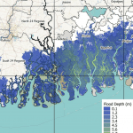
Hurricane Ida, Louisiana 2021


Fathom have created a free flood event footprint for non-commercial use
Event start
29th August (recorded windspeeds: 240 km/hr)Report issuing date
06th September 2021Hurricane Ida made landfall near Port Fourchon, Louisiana as a Category 4 major hurricane at 16:55 UTC (11:55 local time) on Sunday, August 29.
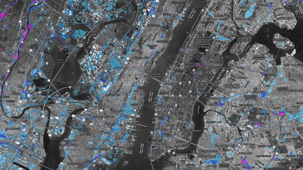
Maximum sustained wind speeds were estimated to be 150 mph (240 km/hr) producing coastal storm surge and wind damage along the northern Gulf Coast. On Wednesday 1st September intense precipitation affected cities along the mid-Atlantic U.S. coastline.
Fathom have created this event footprint for the mid-Atlantic precipitation event using simulations based on observed rainfall accumulations from NOAA and river gauges from the USGS.
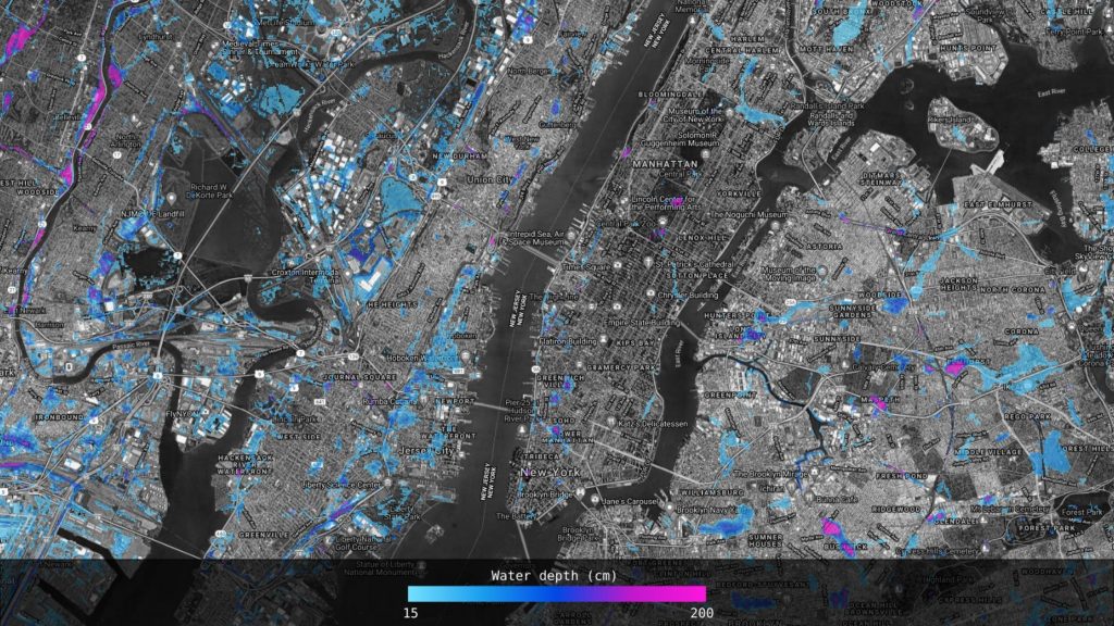
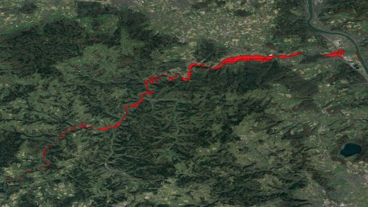
Simulated floods versus satellite imagery: New Jersey
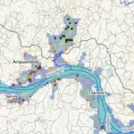
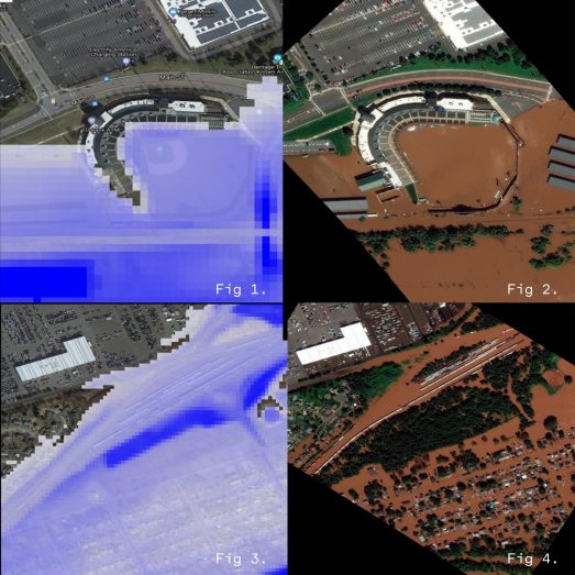
Comparison with remotely sensed imagery from New Jersey indicates that the model has performed relatively well by comparing our event footprint to satellite imagery captured for the event.
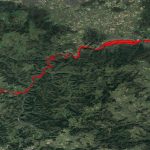
Figure 1: Fathom flood footprint of TD Bank Ballpark. Compared against figure 2: Maxar imagery taken of the same area during the recorded event.
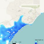
Figure 3: Fathom flood footprint of a residential area. Compared against figure 4: Maxar imagery taken of the same area during the recorded event.
About the data
The event magnitude can be considered as unprecedented, with the largest recorded flows on multiple river gauges with records going back more than 100 years.
These events have been rapidly simulated with no event calibration or validation therefore significant uncertainties will exist in the data.
The data layer itself is called ‘Ida_NE_fooprint_DATA.tif’. It is WGS84 projected, 1 arcsecond (~30m) resolution, with maximum simulated depth in cm. A value of ‘9999’ is used to represent permanent water.
Download request – Ida_NE_footprint_DATA.tif
More response reports