Hurricane Iota, Central America 2020


Exploring how Fathom’s flood models inform risk for major weather events as part of a consortium advising the UK Foreign Commonwealth and Development Office
Event start
16/17 November 2020 (Hurricane landfall at 03:40 UTC, 17 November)Date of forecast
18.11.2020Report issuing date
18th November 2020When forecasting the 2020 Atlantic Hurricane season, the pre-season consensus amongst NOAA researchers was that this year would experience an abnormally active hurricane season, with predictions of 13-19 named storms and 3-6 major hurricanes in the Atlantic.
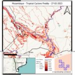
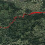
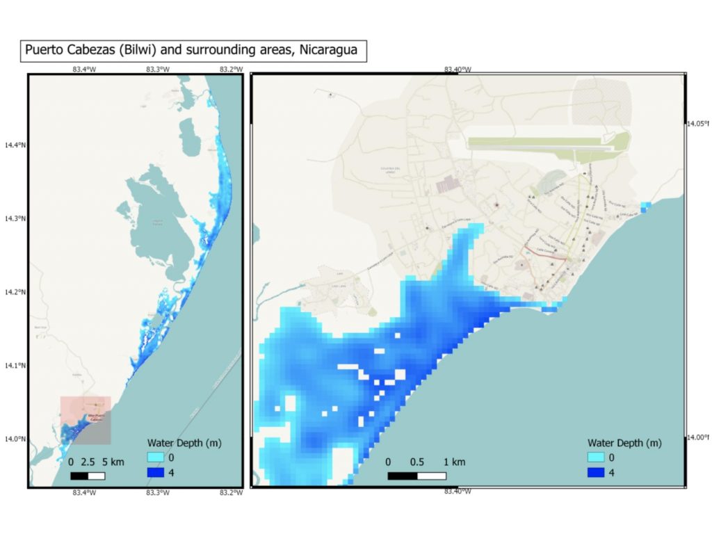
Such predictions have sadly already been exceeded, and Hurricane Iota is currently progressing through parts of Central America, impacting areas that are still recovering from Hurricane Eta.1 Now the 30th named event and the 6th major hurricane of the hyperactive season, Iota is considered the strongest storm to hit Nicaragua in the country’s history, causing extreme rainfall, strong winds, landslides and coastal surges across affected areas.
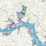
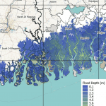
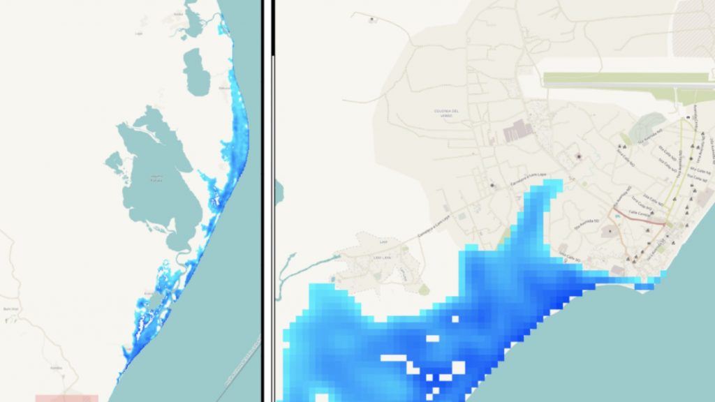
Fathom have been working with a consortium including the University of Bristol, University of Reading, the ECWMF, and HR Wallingford, to provide an impact report for the most remote regions in Central America as part of an ongoing commitment to producing impact reports for major events to the UK Foreign Commonwealth and Development Office. These impact reports are distributed to first responders such as the Red Cross and the Royal Navy in order to support recovery efforts on the ground. In assisting with the production of these reports, we leverage our Global 2.0 hazard data combined with explicit simulation of the predicted coastal storm surge in order to give an early view of likely flooding associated with the hurricane.
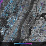
This research relates to a body of work being conducted by Fathom’s scientists to accurately predict flood risk relating to both real-world and future events. The 2D models used to generate our Global 2.0 layers cover all river systems up to 90m resolution and can be rapidly rerun or interrogated for different scenarios to understand the risk associated with particular real-world events. Researchers, practitioners and first responders can make use of these data to support rapid decision making and the allocation of relief resources to areas most at risk.
Similar work was conducted earlier this year as part of the UK aid project to forecast the impacts of Cyclone Amphan in the Bay parts of Bengal. You can read more about this here.


More response reports