International development
Improve your decision making and refine
your strategies with Fathom
Fathom’s data provide an invaluable source of information that can be used to mitigate against or respond to extreme events globally.
Our technology has the power to understand not only which areas will be affected, but also estimate when this will happen and what its impact will be. Bringing this data to regions where it has been historically scarce means that communities are able to adapt to the changing climate-driven landscape of extreme weather events. Specifically in developing countries where budgets for building climate resilience is limited, we are able to provide them with the information to prioritise where they can deploy assign resources for future development.
Features of Fathom flood models
Terrain data
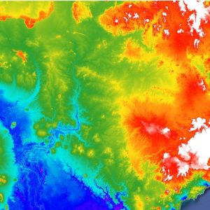
Fathom’s models are underpinned by the best globally available terrain datasets for flood modelling. Our global base data are currently being upgraded from MERIT-DEM to a new dataset based called the Forest and Buildings Removed Copernicus DEM (FABDEM).
Our team collaborated in the creation of both ground-breaking datasets. Over certain parts of the globe even higher quality national terrain datasets are available, usually underpinned by laser altimeter data (LiDAR) or photogrammetry derived datasets. Wherever possible these national data are used, including across all of our country specific models.
Real time reporting
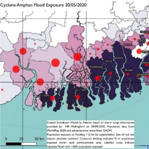
Fathom’s dynamic data and team of specialists can offer real-time reports in the lead up to and during a catastrophic event. Most recently this has been a part of an ongoing commitment to the Foreign, Commonwealth and Development Office to produce impact reports for catastrophic events in developing countries.
River Channel Representation
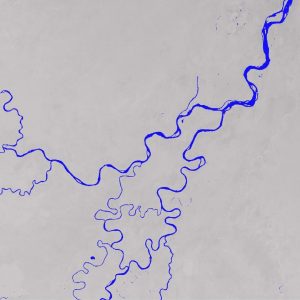
Fathom’s global data benefits from a global hydrography map, MERIT-Hydro. This means that we have explicitly modelled every river channel in the world, regardless of size.
Plausible event sets
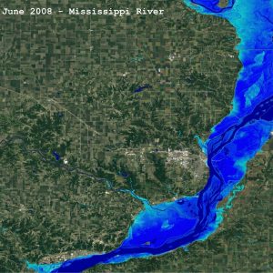
Understand the impact of real world events on different regions through our catalogue of event sets.
Risk Scores
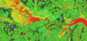
Fathom’s flood data are now also available as Risk Scores. Offering a simple yet powerful way to compare the flood risk for assets across your portfolio. Available in two forms, Relative Risk and Risk Category, the metrics are designed to deliver a consistent method of understanding how flood risk varies from one location to another.
Interested in working with Fathom?
Enquire today to book a consultation with Fathom’s team of leading flood specialists.