
The Global Facility for Disaster Reduction & Recovery
Global Partnership
The problem GFDRR is a global partnership that helps developing countries better understand and reduce their vulnerabilities to natural hazards and adapt to climate change
Working with over 400 local, national, regional, and international partners, GFDRR provides grant financing, technical assistance, training, and knowledge sharing activities to mainstream disaster and climate risk management in policies and strategies.
Managed by the World Bank, GFDRR is supported by 36 countries and 10 international organisations.
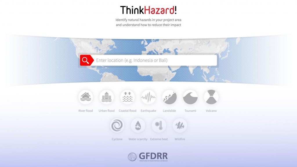
One of the tools offered by GFDRR is ThinkHazard! a web based tool that allows non-specialists to consider the impacts of disasters on development projects. It also provides guidance on how to reduce risk.
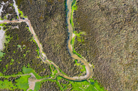
Flooding is an increasingly important hazard covered by ThinkHazard!, with the aim to provide guidance on levels of flood hazard across all territories and at numerous scales.
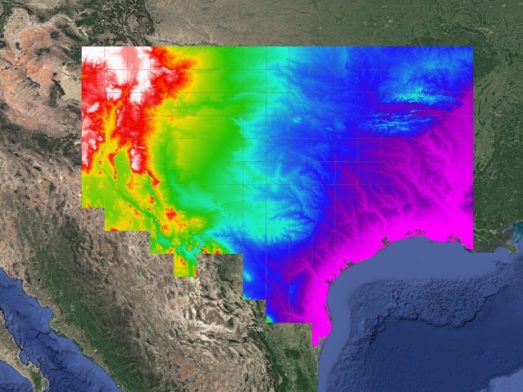
The solution Fathom’s technical team combined Fathom-Global hazard layers with satellite based observations of permanent water and urban features to create a global picture of flood hazard and exposure
Bespoke spatial classification schemes were then developed using quantitative methods that used the hazard data to classify government administrative areas into easily understood hazard classes globally.
The results The ThinkHazard! platform has a new and improved set of global flood hazard layers for both fluvial (riverine) and urban (riverine and extreme rainfall) flooding
These layers allow users to quickly identify whether or not flooding is likely to pose an operational challenge during the early stages of disaster response or project planning.
Visit the ThinkHazard! Platform
Identify natural hazards for a specific region and understand how to reduce their impact.
Discover Fathom’s most comprehensive and robust global flood hazard data set
A step-change in your ability to understand global flood risk.
Related case studies

The Nature Conservancy
The Nature Conservancy worked with Fathom to understand flood risk and identify large scale exposure to flooding across different demographics and the impact of future climate scenarios.
Texas Water Development Board
Texas Water Development Board uses Fathom data, and others, to accelerate the development of the first statewide flood planning program in the absence of publicly available flood data.
Arup & World Bank
Fathom & Arup demonstrate how rapid, data-driven flood modeling can quantify the impact of urban greening on flood extent, soil erosion, and urban heat. Discover how NBS can create more resilient cities.


Bank of England
Fathom supported the Bank of England in their analysis of submissions for CBES 2021 using the Fathom-UK CAT model.
Quote We would like to express our gratitude to both the physical risk open data providers as well as to the plethora of technical experts for all of their contributions to this exercise over the past two years.