Flood risk data for public sector leaders
Trusted flood intelligence for government agencies and public authorities.
Available via flexible perpetual licensing for public sector procurement.








Flood intelligence to make critical decisions in an uncertain climate.
Public sector organizations face growing pressure to make critical decisions in an increasingly uncertain climate. From infrastructure investment and land-use planning to emergency preparedness and resilience strategy, understanding flood risk has never been more important. Fathom provides the trusted flood intelligence needed to help government agencies, local authorities and public sector organizations make informed decisions that protect communities and public assets.
Fathom delivers comprehensive, scientifically robust flood risk data and analytics that help public sector teams understand current and future flood exposure. By combining high-resolution flood mapping with forward-looking climate insights, we enable organizations to assess risk consistently, prioritize resilience investments, support policy development and strengthen community preparedness. Whether planning for today’s challenges or tomorrow’s uncertainties, Fathom provides the evidence base needed to make confident, data-driven decisions.
Public sector use cases
How public sector organisations use Fathom’s flood intelligence to guide infrastructure planning, resilience investment, emergency preparedness and climate adaptation.
Identify and prioritize flood resilience investments across public infrastructure portfolios
Make informed investment decisions with a consistent view of flood risk across roads, utilities, public buildings, transportation networks and other critical assets. Fathom’s scientifically validated flood models provide high-resolution insights across entire asset portfolios, helping organizations identify vulnerabilities, quantify exposure and prioritize resilience investments where they will have the greatest impact on communities and public resources.
Support land-use planning, zoning and development decisions with detailed flood risk insights
Look beyond traditional regulatory flood maps to understand the full extent of flood risk across your jurisdiction. Fathom’s comprehensive modeling captures fluvial, pluvial and coastal flooding, enabling planners to assess development suitability, guide growth strategies and make evidence-based land-use decisions that reduce future risk and support sustainable community development.
Strengthen emergency preparedness, response planning and community resilience programs
Prepare for flood events with a detailed understanding of where people, critical services and infrastructure are most vulnerable. Fathom’s granular hazard data helps emergency management teams identify at-risk communities, improve evacuation and response planning, target mitigation efforts and build more resilient communities through proactive risk management.
Assess current and future flood risk to inform climate adaptation and long-term strategic planning and state hazard mitigation plans
Plan with confidence using flood risk intelligence that considers both present-day hazards and future climate impacts. Fathom’s forward-looking modeling enables public sector organizations to evaluate how flood risk may change over time, supporting climate mitigation & adaptation strategies, infrastructure planning, policy development, funding applications and long-term resilience programs.
Why public sector organizations choose Fathom
Comprehensive flood intelligence

Capturing fluvial, pluvial and coastal flood risk within a single, consistent view, providing a complete picture of hazard across communities and infrastructure.
Coverage beyond regulatory flood maps

Revealing areas of risk often missed by traditional floodplain datasets, helping organizations make decisions based on actual exposure rather than mapped boundaries.
Current and future climate risk insights

Fathom enables adaptation planning, resilience investment and long-term decision-making with confidence. Our fully flexible, climate-conditioned flood hazard data models any projected combination of future year and climate scenario through 2100.
Flexible, perpetual licensing model
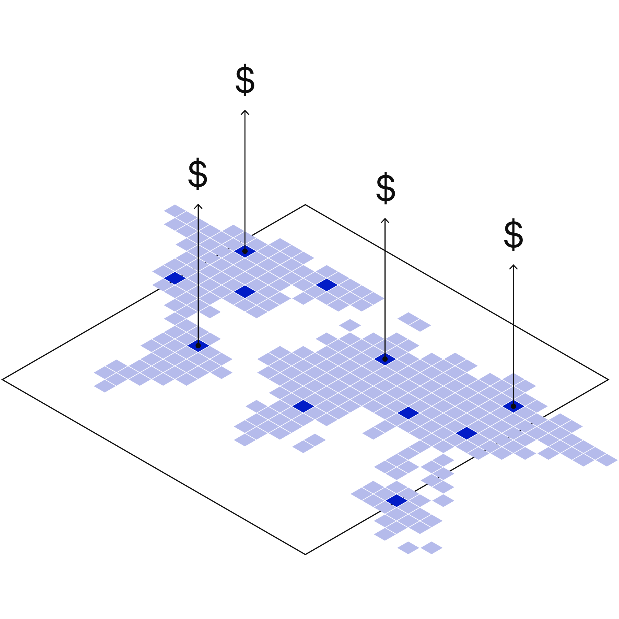
Secure long-term access to critical flood data without unpredictable recurring subscription costs. Budget with confidence, own your intelligence and seamlessly share data across departments.
Consistent, high-resolution data at every scale

Compare, prioritize and manage risk across regions, assets and communities using a single methodology, supporting everything from national resilience programs to local infrastructure projects.
Scientifically rigorous and globally trusted models
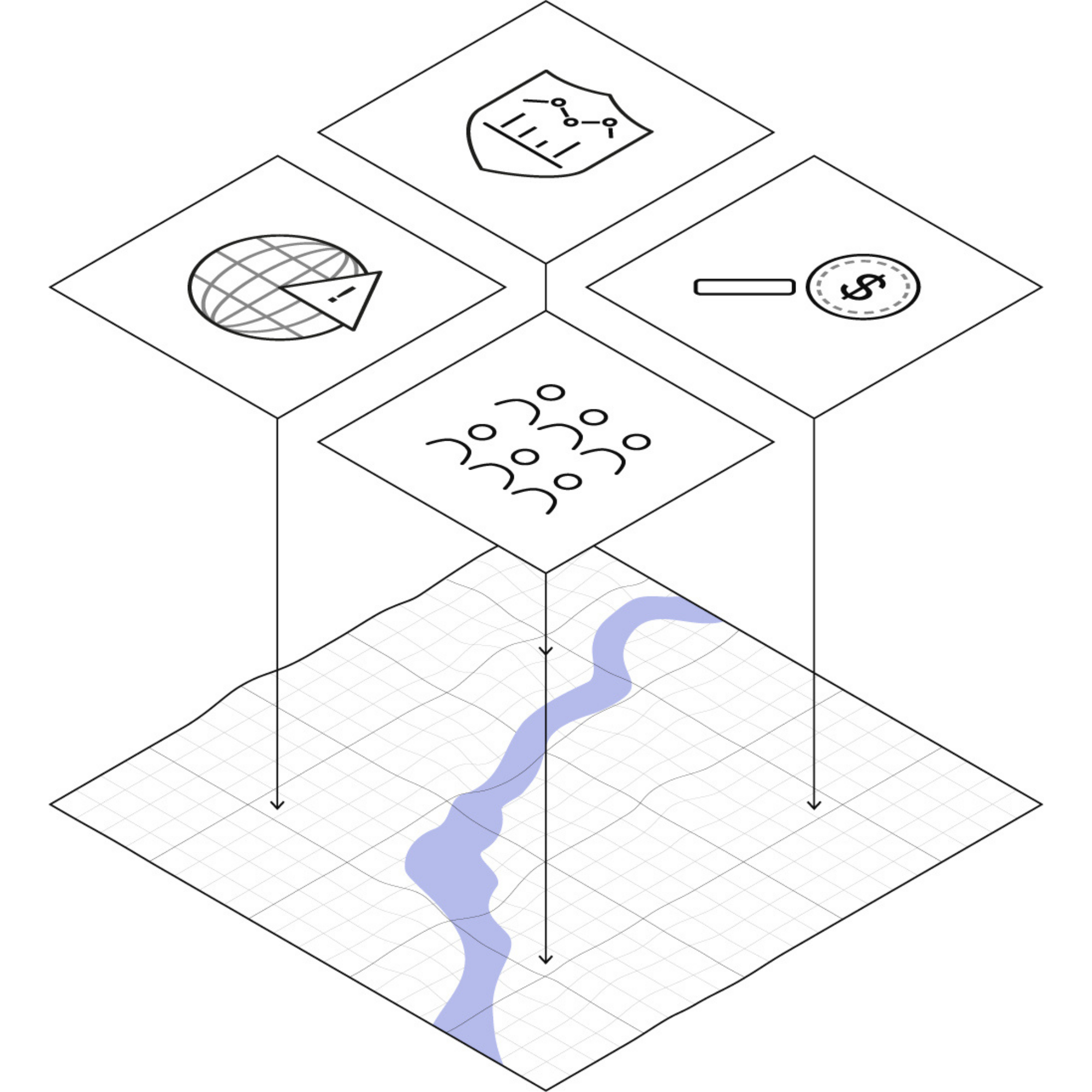
Developed by world-leading flood scientists, grounded in peer-reviewed research and validated against real-world flood events to support evidence-based planning and policy development.
Delivering measurable value
Cost savings
Traditional flood modeling often costs millions to assess large regions. Fathom delivers equivalent, high-quality flood intelligence at a fraction of the price. By offering perpetual licensing, public sector organizations gain long-term budget certainty with a one-time capital investment, redirecting saved funds directly into resilience projects.
Example: Texas statewide flood map
To develop the first statewide flood map in Texas, traditional engineering firms quoted an estimated $45 million (£35.5m) using localized methods. By pivoting to Fathom’s pre-existing 2D modeling framework and high-resolution data integration, the state delivered equivalent insights across multiple flood perils at a fraction of that cost. Read more


Time efficiency
Regional flood modelling projects can take years, or even decades, to complete. Fathom provides comprehensive flood intelligence within weeks, enabling organizations to accelerate planning, respond to emerging challenges and make timely investment decisions.
Example: Florida’s statewide flood vulnerability assessment
Fathom rapidly built a fully 2D nationwide flood model that covered 3.3 million critical assets across all 67 counties, in just eight months. Without Fathom’s pre-existing, scalable 2D data framework, a traditional statewide assessment of this scale would have taken years—likely between three and five years—or been completely impossible under the state’s strict eight-month deadline. Read more
Greater risk visibility
Move beyond the limitations of regulatory flood maps with comprehensive fluvial, pluvial and coastal flood modeling. Fathom reveals previously unmapped areas of flood risk, providing a more complete understanding of exposure across communities, infrastructure and public assets.
Example: National Capital Region Transportation Planning Board climate vulnerability assessment
Fathom revealed significantly more at-risk infrastructure than FEMA-based flood maps (64% compared with 39%), including previously unmapped exposure. Read more


Unlock additional funding
Strengthen business cases and funding applications with trusted, science-based flood intelligence. By clearly demonstrating flood risk, prioritizing investment needs and quantifying potential impacts, Fathom helps public sector organizations secure funding for resilience, adaptation and infrastructure projects.
Example: Dar es Salaam Metropolitan Development Project
Fathom’s flood data underpinned Arup’s analysis, enabling the Tanzanian Government to identify where nature-based solutions would most effectively reduce flood risk. This evidence helped secure $385 million in World Bank funding to embed urban greening into major infrastructure investments. Read more
Stretching public resources while managing risk requires strategic alignment.
Contact our team today to learn how we help you reduce operational costs, streamline processes, gain full risk visibility and unlock additional funding streams.
Proven impact in the public sector


FEMA’s Risk Rating 2.0
Fathom provided FEMA with a more accurate, up-to-date picture of US flood risk which informed how the NFIP prices insurance, using Fathom-US flood map.


Arup & World Bank
Fathom & Arup demonstrate how rapid, data-driven flood modeling can quantify the impact of urban greening on flood extent, soil erosion, and urban heat. Discover how NBS can create more resilient cities.


Florida Department of Environmental Protection
In collaboration with local engineering firms, Fathom supports the Florida Department of Environmental Protection to create a statewide flood vulnerability assessment for critical assets.


Metropolitan Washington Council of Governments (COG) & ICF
Washington’s Transportation Planning Board used Fathom data to build a complex picture of transportation infrastructure flood vulnerability.


Texas Water Development Board
Texas Water Development Board uses Fathom data, and others, to accelerate the development of the first statewide flood planning program in the absence of publicly available flood data.


GFDRR
Fathom combined Fathom-Global hazard layers with satellite based observations to create a global picture of flood hazard and exposure for The Global Facility for Disaster Reduction & Recovery.
In a world of uncertainty, Fathom enables public sector leaders to:
Public sector organizations need flood risk data they can trust to support critical decisions today and prepare for the challenges of tomorrow.
Fathom provides a complete and consistent view of flood risk, helping teams move beyond regulatory maps, understand future climate impacts and access the actionable insights needed to plan, prioritize and invest with confidence.
Make more informed infrastructure and capital investment decisions using detailed flood risk intelligence.
Understand current and future flood risks affecting communities, critical infrastructure and public assets.
Focus mitigation efforts where they will reduce risk and deliver the greatest impact.
Support evidence-based planning, policy development and long-term climate adaptation strategies.
Strengthen emergency planning, response capabilities and long-term community resilience.
Justify funding applications and resilience investments with trusted, science-based flood risk data.