Our key research advances, 1992-2024
A new climate-conditioned catastrophe flood model for the UK
Read paperA 30m global map of elevation with forests and buildings removed
Influential paper exploring the development of FABDEM – our global digital elevation model
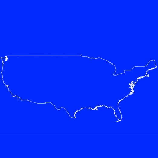
Combined Modeling of US Fluvial, Pluvial, and Coastal Flood Hazard Under Current and Future Climates
Validation of the methodologies underpinning Fathom-US 2.0
The Spatial Dependence of Flood Hazard and Risk in the United States
Methodology for Fathom-US CAT model.
Estimates of present and future flood risk in the conterminous United States
Presentation of current and future flood risk in the US.
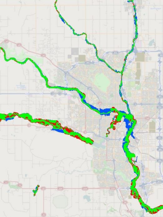
Validation of a 30 m resolution flood hazard model of the conterminous United States
First validation of a large-scale flood model.
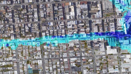
A high-resolution global flood hazard model
First description of a high-resolution global flood model.
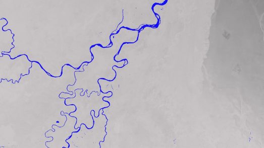
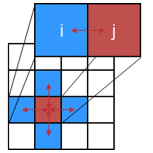
A subgrid channel model for simulating river hydraulics and floodplain inundation over large and data sparse areas
Presentation of sub-grid hydraulic model structures.
A simple inertial formulation of the shallow water equations for efficient two-dimensional flood inundation modelling
Hugely influential paper describing new formulation of shallow water equations.
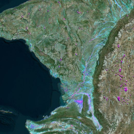
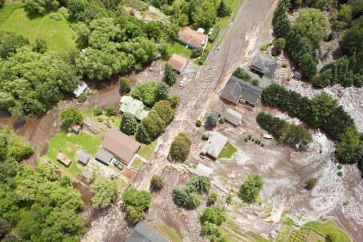
Reach scale floodplain inundation dynamics observed using airborne synthetic aperture radar imagery: Data analysis and modelling
First description of remotely-sensed imagery in model validation.
A simple raster-based model for flood inundation simulation
Seminal paper describing the first grid-based flood model.
Modelling floodplain flows using a two-dimensional finite element model
Professor Paul Bates’ first paper describing a 2D flood model.
A 30m global map of elevation with forests and buildings removed
Influential paper exploring the development of FABDEM – our global digital elevation model
Combined Modeling of US Fluvial, Pluvial, and Coastal Flood Hazard Under Current and Future Climates
Validation of the methodologies underpinning Fathom-US 2.0
The Spatial Dependence of Flood Hazard and Risk in the United States
Methodology for Fathom-US CAT model.
Estimates of present and future flood risk in the conterminous United States
Presentation of current and future flood risk in the US.
Validation of a 30 m resolution flood hazard model of the conterminous United States
First validation of a large-scale flood model.
A high-resolution global flood hazard model
First description of a high-resolution global flood model.
A subgrid channel model for simulating river hydraulics and floodplain inundation over large and data sparse areas
Presentation of sub-grid hydraulic model structures.
A simple inertial formulation of the shallow water equations for efficient two-dimensional flood inundation modelling
Hugely influential paper describing new formulation of shallow water equations.
Reach scale floodplain inundation dynamics observed using airborne synthetic aperture radar imagery: Data analysis and modelling
First description of remotely-sensed imagery in model validation.
A simple raster-based model for flood inundation simulation
Seminal paper describing the first grid-based flood model.
Modelling floodplain flows using a two-dimensional finite element model
Professor Paul Bates’ first paper describing a 2D flood model.