Model validation 26.08.2004

An invited commentary on the value of using new forms of remotely sensed data in flood modelling.
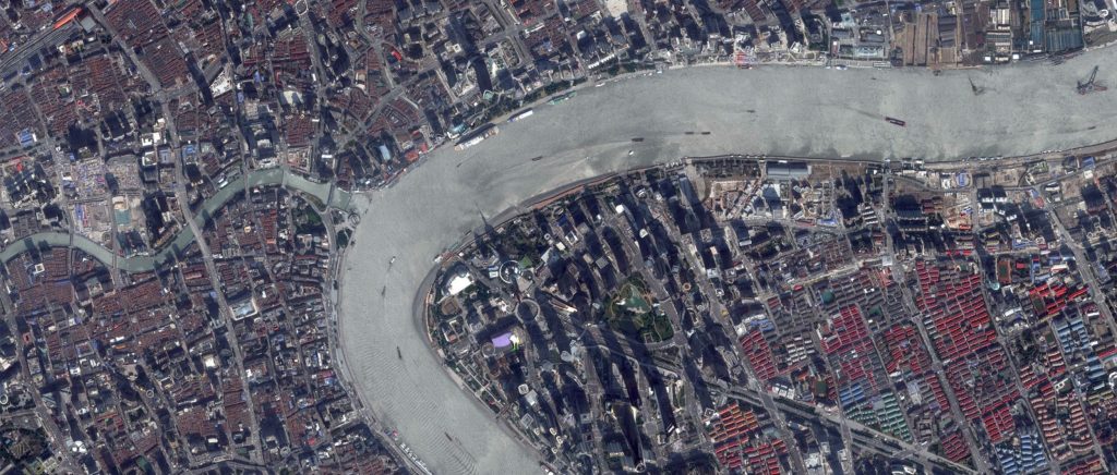
Flood inundation modelling is a key applied problem where distributed model predictions are required and used to inform major decisions relating to planning and insurance.
However, it has long been known that distributed hydraulic models, along with similar codes in catchment hydrology, suffer from two key problems:
- A lack of distributed data to paramaterize and validate the codes.
- A lack of adequate theory to scale parameter values derived for point-based equations to effective parameter values at the grid scale or to relate point validation measurements to the time-and-space-averaged quantities actually predicted by the models.
In this commentary submitted by Professor Paul Bates to the Hydrological Press, the value of using new forms of remotely sensed data in flood modelling is assessed.