-
Fewtrell, T.,
-
Duncan, A.,
-

-
-


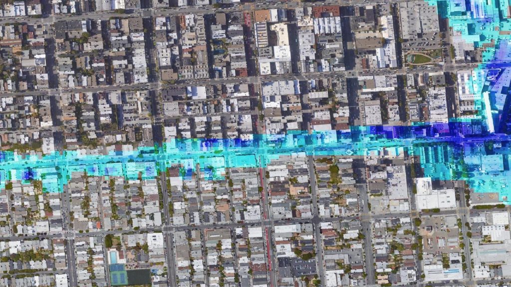
A research paper describing urban flood simulation at an ultra-high resolution of 50cm.
This paper describes benchmark testing of a diffusive and an inertial formulation of the de St. Venant equations implemented within the LISFLOOD-FP hydraulic model using high resolution terrestrial LiDAR data.
The models are applied to a hypothetical flooding scenario in a section of Alcester, UK which experienced significant surface water flooding in the June and July floods of 2007 in the UK. The sensitivity of water elevation and velocity simulations to model formulation and grid resolution are analyzed.
The differences in depth and velocity estimates between the diffusive and inertial approximations are within 10% of the simulated value but inertial effects persist at the wetting front in steep catchments. Both models portray a similar scale dependency between 50 cm and 5 m resolution which reiterates previous findings that errors in coarse scale topographic data sets are significantly larger than differences between numerical approximations. In particular, these results confirm the need to distinctly represent the camber and curbs of roads in the numerical grid when simulating surface water flooding events.
Furthermore, although water depth estimates at grid scales coarser than 1 m appear robust, velocity estimates at these scales seem to be inconsistent compared to the 50 cm benchmark. The inertial formulation is shown to reduce computational cost by up to three orders of magnitude at high resolutions thus making simulations at this scale viable in practice compared to diffusive models. For the first time, this paper highlights the utility of high resolution terrestrial LiDAR data to inform small-scale flood risk management studies.