-

-
-
-
-
Alfieri, L.,
-
Freer, J.


This paper describes the architecture of our global flood hazard model and validating its performance against local data.
Floods are a natural hazard that affect communities worldwide, but to date the vast majority of flood hazard research and mapping has been undertaken by wealthy developed nations.
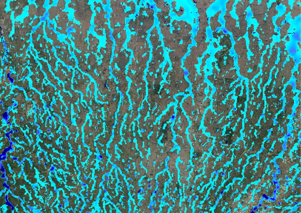
As populations and economies have grown across the developing world, so too has demand from governments, businesses, and NGOs for modeled flood hazard data in these data-scarce regions. We identify six key challenges faced when developing a flood hazard model that can be applied globally and present a framework methodology that leverages recent cross-disciplinary advances to tackle each challenge. The model produces return period flood hazard maps at ∼90 m resolution for the whole terrestrial land surface between 56°S and 60°N, and results are validated against high-resolution government flood hazard data sets from the UK and Canada. The global model is shown to capture between two thirds and three quarters of the area determined to be at risk in the benchmark data without generating excessive false positive predictions.
When aggregated to ∼1 km, mean absolute error in flooded fraction falls to ∼5%. The full complexity global model contains an automatically parameterized subgrid channel network, and comparison to both a simplified 2-D only variant and an independently developed pan-European model shows the explicit inclusion of channels to be a critical contributor to improved model performance. While careful processing of existing global terrain data sets enables reasonable model performance in urban areas, adoption of forthcoming next-generation global terrain data sets will offer the best prospect for a step-change improvement in model performance.