

Dr Oliver Wing & Dr James Savage write in the May/June issue of GeoConnexion on global flood modelling.
Recent enhancements in global data modelling led by the improvement in spatial data has resulted in organisations being able to model floods much more accurately. In a recent article with GeoConnexion, Fathom’s Chief Resarch Officer Oliver Wing and Senior Developer James Savage explain how.
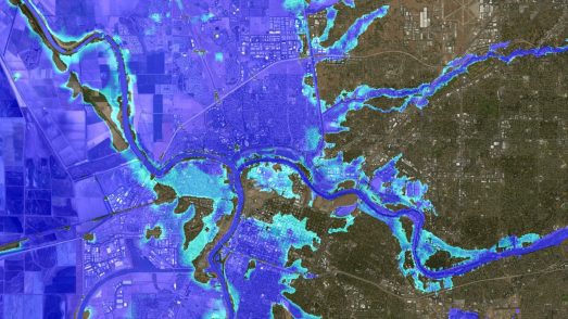
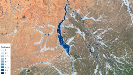
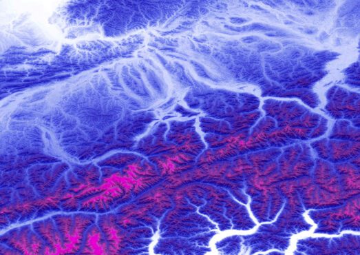
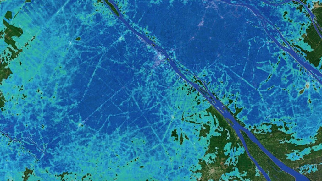
This month, team members Ollie and James wrote an article for GeoConnexion magazine on how big data has transformed the field of flood modelling. In particular, complete global maps of terrain data and river networks have enabled global-scale flood inundation models to proliferate. They point out that the careful processing and correcting of these data are a crucial step in the context of flood modelling. Our global hazard maps benefit from state-of-the-science corrections to elevation and channel data, providing an understanding of flood risk globally with unparalleled accuracy.
You can read the full magazine article here, or download a PDF of it below.