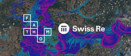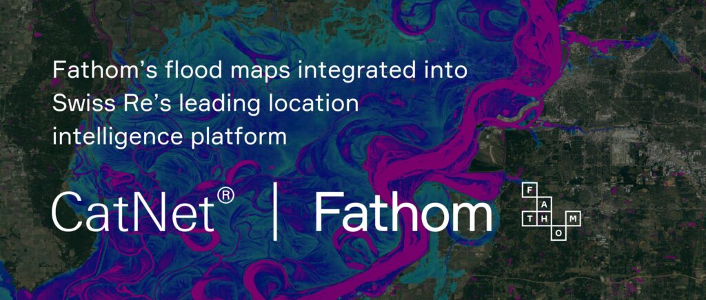
As demand grows within the insurance industry to quantify and evaluate flood risk more accurately, Fathom announces its flood maps are now available in CatNet®, Swiss Re’s leading location intelligence platform. This includes its Global Flood Map, US Flood Map, UK Flood Map and Japan Flood Map.
CatNet®, Swiss Re’s proprietary risk assessment tool, is used by organizations to analyze their exposure to natural catastrophe risk. The integration of Fathom’s independently validated, high-resolution US Flood Map into the tool marks a significant milestone in enhancing CatNet’s® existing flood modeling resources, to supply clients with the highest quality dynamic flood risk assessments.
Product spotlight
Fathom’s award-winning Global Flood Map provides its users with the most robust and comprehensive set of hazard data and flood risk information in the world. Available across all major flood perils: pluvial, fluvial and coastal, it revolutionizes how insurers, financial markets, engineers, corporates and governments can understand and integrate flood hazard and climate change data into their risk operations.
Meanwhile, Fathom’s US Flood Map is the most comprehensive flood map for the United States, offering an unprecedented level of detail and accuracy. Its features include:
- ‘Gold standard’ LiDAR coverage for 94% of buildings.
- Newly available LiDAR for 57% of US land.
- The estimated influence of all 84,000 dams on extreme flows nationwide; a world-first.
- The first flood map to cover every river, stream and coastline in the country.
A focus on flooding
Floods, historically known as a secondary peril, are rapidly becoming a primary concern for re/insurers worldwide with climate change making them larger, less predictable and more expensive. Research by the World Bank indicates that approximately one in five people in the world are exposed to substantial flood risk. With their frequency, size, and costs on the rise, insurers and companies with assets in flood-prone areas require more advanced tools to navigate this evolving threat landscape.
Incorporating Fathom’s flood maps into CatNet® enables sophisticated climate-driven present-day flood risk assessment, instead of relying on historical data alone. This integration also enables users to leverage multiple flood risk models simultaneously on a single platform, facilitating more comprehensive risk assessments.
Interested in learning more? Read the blog ‘Before the flood: Mapping an intensifying threat’ by Anil Vasagiri, Head of Property Solutions at Swiss Re
Fathom offers a range of options for selecting, accessing and consuming our data – learn more here or get in touch with a member of our team.