How to leverage comprehensive US flood hazard information for enhanced resilience and risk assessment strategies
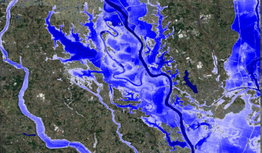
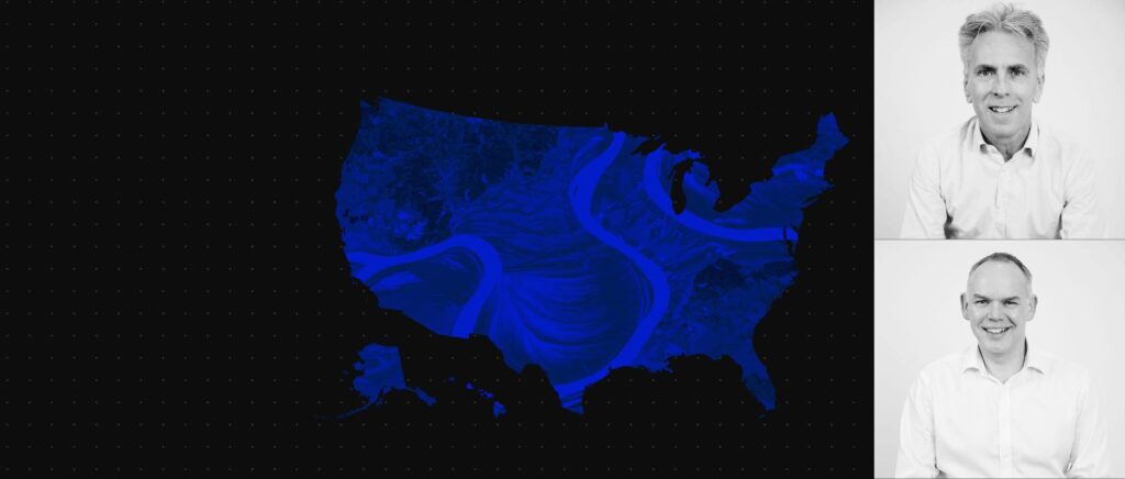
In October last year, we introduced the first-of-its-kind Global Flood Map. Now, we bring you the new US Flood Map. This exclusive webinar is your gateway to understanding how Fathom can help you in leveraging comprehensive and climate-driven flood hazard information for all US river channels. With modeling experts, Prof Paul Bates CBE FRS, Chairman, and Dr Matthew Jones, Chief Product Officer.
This webinar provides an overview of the science, methodologies and the latest observation, terrain and climate data behind the map.
We explore also explore the use cases for the new US Flood Map and how Fathom’s data can empower you with precise flood predictions and enable proactive decision making. Providing real-world applications across a range of industries, whether you operate in insurance, urban planning, infrastructure development, banking & capital markets, engineering, or environmental conservation, this event will provide invaluable insights into how this state-of-the-art mapping solution can enhance your risk assessment strategies and improve overall resilience.
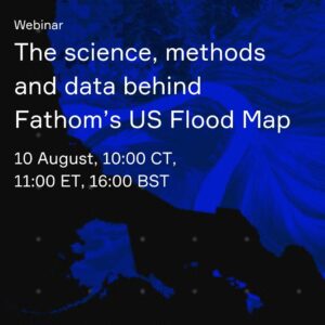
The science, methods and data behind Fathom’s cutting-edge US Flood Map
As part of our US Flood Map launch, we will also be running a technical deep-dive webinar. For those of you who are interested in learning more about the science, methodologies and datasets that go into making the most comprehensive US Flood Map to date.