Unveiling Fathom’s cutting-edge US Flood Map: Understanding flood risk for informed decision making
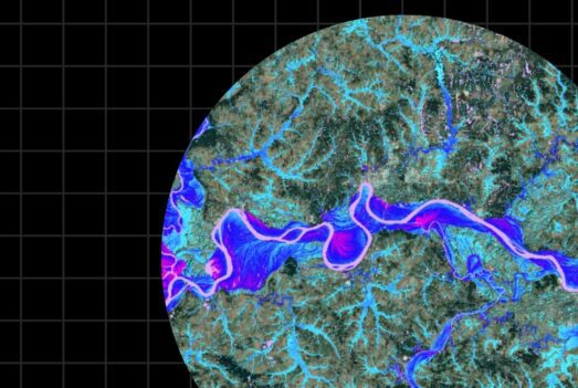
Fathom’s new US Flood Map offers users the ability to assess the impact of flood risk on any asset, infrastructure, portfolio or investment. It provides comprehensive coverage across 8 return periods, for both inland and coastal flood risk, under any time horizon, emission pathway or climate scenario. Watch our webinar on demand, where we present a technical deep dive into the science, methodologies and the latest observation, terrain and climate data driving the map.
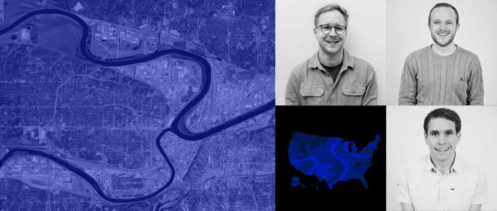
In this session, we open the black box of flood modeling to allow you to understand the building blocks of our latest flood hazard map for the United States. Register to hear from Fathom’s technical team, including Co-Founder and CTO, Dr Chris Sampson, Chief Research Officer, Dr Oliver Wing, and Principal Hydraulic Modeller, Dr James Savage.
Watch on-demand to learn:
- What research and methodologies went into building the map
- How Fathom built the most comprehensive US flood map to date
- Which datasets are used in building the map
- How to access and apply the map to your business
- Live Q&A with the experts behind the map
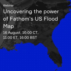
Webinar: Uncovering the power of Fathom’s US Flood Map
For those wanting to learn more about how to utilize Fathom’s US Flood Map in your business, we are running a second launch webinar: Uncovering the power of Fathom’s US Flood Map. Prof Paul Bates and Dr Matthew Jones will be giving an overview of the new US model vs previous data, as well as walking through use cases for the data across various industries.
When: 16 August, 10:00 CT, 11:00 ET, 16:00 BST