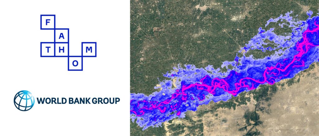

Global flood risk intelligence leader Fathom will offer its flood data for non-commercial use, free of charge, to 16 countries under a new agreement with the World Bank. These countries are among the most vulnerable to climate change, such as Pakistan, Somalia, and Yemen, which often struggle with limited data resources.
The agreement is a component of the World Bank’s license of Fathom’s Global Flood Map, primarily funded by the Bank-managed Global Facility for Disaster Reduction and Recovery (GFDRR) and the Global Shield Financing Facility.
This strategic collaboration represents a significant step forward in increasing data accessibility for all countries involved, some of which are in fragile and conflict-affected situations. It sets a precedent in the data industry, emphasizing the vital importance of making data readily available. This initiative aligns with the World Bank’s growing focus on utilizing data and knowledge to benefit broader communities.
The data from Fathom’s Global Flood Map includes both inland (rainfall and river) and coastal flood risk data for the current climate, in addition to intelligence for a number of climate change scenarios: SSP1-2.6, SSP2-4.5, SSP3-7.0 and SSP5-8.5. To assist with future-proofing, users will be able to analyze the flood risk for each climate change scenario at different time horizons, with forecasting data for the years 2030, 2050 and 2080 also included in the offering.
Case study: Read more about Fathom’s work with the World Bank
Countries eligible for free flood risk data
- Burkina Faso
- Burundi
- Central African Republic
- Chad
- Democratic Republic of Congo
- Djibouti
- Honduras
- Madagascar
- Federated States of Micronesia
- Mozambique
- Pakistan
- Papua New Guinea
- Somalia
- South Sudan
- Timor-Leste
- Republic of Yemen
Stuart Whitfield, CEO at Fathom, said:
“Awareness is pivotal for managing and mitigating the devastating effects of flooding. We’re incredibly proud to be offering insights into flood risk not previously available for these data scarce countries, to help support future planning and resilience to water risk.”
Public sector stakeholders will be able to access the data by applying to Fathom.
The high-resolution data is underpinned by FABDEM; which has been academically validated as the most accurate global map of the Earth’s terrain. An update to the data was released in September 2023, with FABDEM+, which includes the latest localized terrain data from thousands of different sources to create the best available elevation information for every location in the world.

Fathom’s work with Arup and World Bank
Fathom teamed up with Arup to demonstrate how urban greening can alleviate flood risk in Dar es Salaam with rapid bespoke modeling. Read the case study to learn more about measuring the impact of nature-based solutions.
For more information, please complete the contact form below.
For media enquiries, contact j.roberts@fathom.global.