
Unlocking a new era of accurate geospatial insights and applications
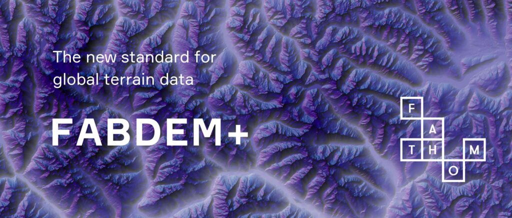
Today, global water risk intelligence firm Fathom announces the launch of FABDEM+, a new standard for globally consistent and accurate multi-source digital elevation data.
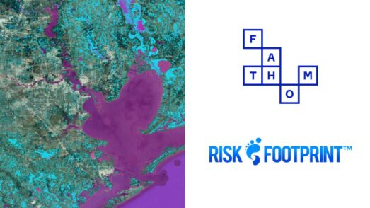
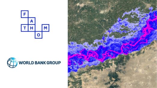
Mapping the Earth’s surface has benefits across the corporate landscape / project lifecycle (for engineering media), including risk mitigation and regulatory compliance, asset maintenance and emergency disaster response in data scarce regions.
FABDEM+ blends the power of Fathom’s Forest And Buildings removed Digital Elevation Model (FABDEM) with the latest localized terrain data from thousands of different sources, resulting in a seamlessly integrated digital terrain model that amalgamates the best available elevation information for every location in the world with comprehensive metadata into a singular, cohesive product.
Key features of FABDEM+:
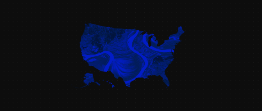
- Comprehensive coverage: Including ‘gold standard’ LiDAR for 36 countries.
- High resolution: At ~30 m globally. ~10 m in areas with enhanced data, such as the US, which benefits from LiDAR for 79% of land and 94% of buildings in the contiguous US.
- Consistent data: Collated by Fathom’s scientists and processed to remove disparities and ensure cohesion.
- Up-to-date: With enhanced data such as LiDAR from as recent as 2022.
FABDEM+ is underpinned by FABDEM, which was built using Fathom’s peer-reviewed and openly published methods, and has since been recognized by multiple studies as “a clear improvement” to other digital elevation models available for analysis.
Interested in learning more about our digital terrain model?
For media enquiries, contact Jessica Roberts at j.roberts@fathom.global
If you would like to publish this story on your own website, images can be found in our Media Kit.