
Evaluating public, private and hybrid flood risk data
Understanding flood risk starts with understanding your data. Learn the strengths, limitations and best use cases of public, private and hybrid flood datasets, and discover how to select the right data for your project.
Download the guide to:
- Compare US public and private flood data at a glance
- Understand the strengths and limitations of each
- Identify the right data for your application
- Learn why the hybrid modeling approach is gaining momentum
- Evaluate commercial flood datasets with confidence
- See how organizations are improving flood resilience with hybrid approaches
Download the guide
The case for a hybrid flood-modeling approach
Flood risk professionals have never had more data available or more decisions to make.
Public datasets remain the authoritative foundation for flood mapping, engineering standards and regulatory compliance. However, many are constrained by funding cycles, inconsistent coverage, slow update schedules and limited integration of future climate conditions. As a result, they don’t always provide the comprehensive view needed for broadscale flood risk assessment across cities, watersheds, states or entire countries.
Private flood models have emerged to fill these gaps. They offer consistent, nationwide coverage, high-resolution modeling, frequent updates and climate-informed insights, helping organizations assess flood risk faster and at greater scale.
Increasingly, organizations are combining public and private datasets to create a more complete, accurate and actionable understanding of flood risk. For broadscale assessments, a hybrid approach enables decision-makers to leverage the regulatory authority of public data alongside the coverage, consistency and innovation of private models.
This guide explores the strengths and limitations of each approach, when to consider a hybrid option and how to confidently select the right flood data for your project.
Key insights
Public and private flood data both have strengths and limitations.
Each type of dataset is designed for different purposes. It’s crucial to understand which is most suitable for your use case.
It’s not about one or the other; a hybrid approach using various public and private data sources is the way forward.
Not all private flood data is created equal; it’s important to thoroughly explore data sets to ensure they’re fit for purpose.
Three questions to ask before choosing flood data
Can I trust this private flood data?
Not all private flood datasets are created equal. Resolution, methodology, validation and transparency can vary significantly between providers, making it difficult to judge whether a dataset is fit for purpose.
In this guide: Learn how to evaluate commercial flood data and the key questions to ask before selecting a provider.
Is this the right dataset for my application?
Different flood datasets are designed for different purposes. A dataset that performs well for regulatory mapping may not be the best choice for portfolio analysis, resilience planning or climate risk assessments.
In this guide: Discover when public, private or a hybrid approach is most appropriate and how to choose the right data for your use case.
Should I use public data, private data or both?
Increasingly, organizations are combining public and private datasets to create a more complete picture of flood risk. But understanding how the two complement each other is key to getting the best results.
In this guide: Explore why hybrid modeling is becoming the preferred approach for broadscale flood risk assessment and how leading organizations are putting it into practice.
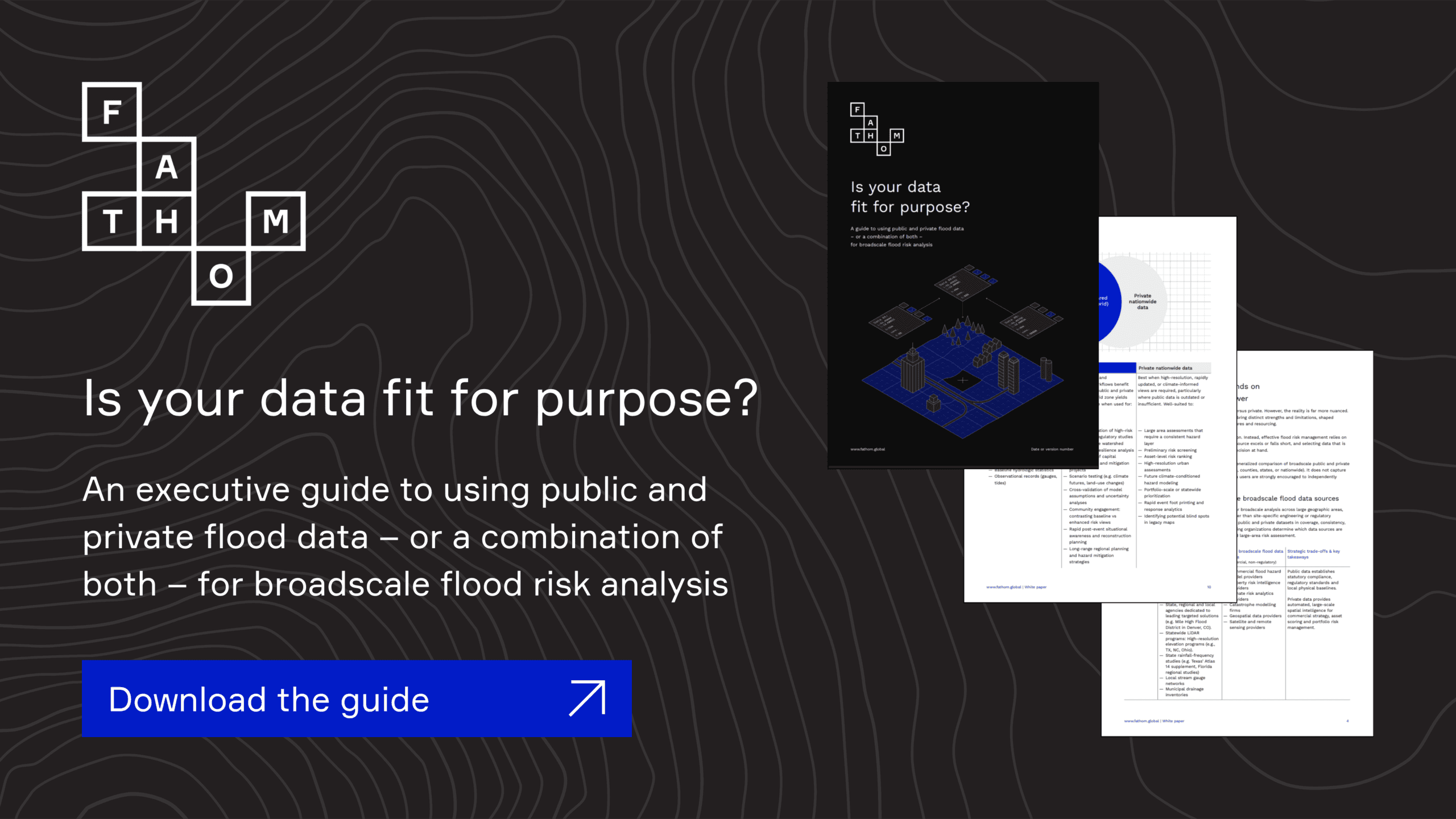
Ready to choose flood data with confidence?
Download the free guide to help eliminate data gaps, evaluate flood data providers and blend public and private datasets into a defensible, climate-informed risk assessment strategy.