Fathom
Insights
Product Stack
Product Stack
Products
Global Flood Maps
US Flood Map
UK Flood Map
Japan Flood Map
Risk Scores
Catastrophe Models
UK Catastrophe Model
US Catastrophe Model
Global Terrain Data – FABDEM+
Accessing Fathom data
Event Response
Cyclone Emnati, Madagascar 2022
Cyclone Batsirai, Madagascar 2022
Hurricane Ida, Louisiana 2021
Flash Flooding, Germany 2021
Cyclone Eloise, Mozambique 2021
Hurricane Iota, Central America 2020
Sectors
Insurance
Engineering
Financial markets
International development
Corporate
Knowledge
Insights
Events
Case studies
Research papers
Partners
Commercial partners
Research partners
About
About us
News
Careers
Contact us
arrow light short right
arrow light short right
Fathom
Insights
Knowledge
Insights
Latest
Fathom Insights
Insights from our expert team on providing flood risk information at a global scale
All
Articles
Podcast
Video
White paper
search
Search
More results…
Go to Climate risk in banking: A growing threat and untapped opportunity
Articles
Climate risk in banking: A growing threat and untapped opportunity
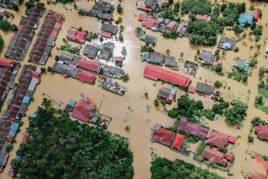
Go to Does (element) size really matter? The effect of grid scale on flood model quality
Articles
Does (element) size really matter? The effect of grid scale on flood model quality
Go to Flood risk and the modern actuary
Articles
Flood risk and the modern actuary
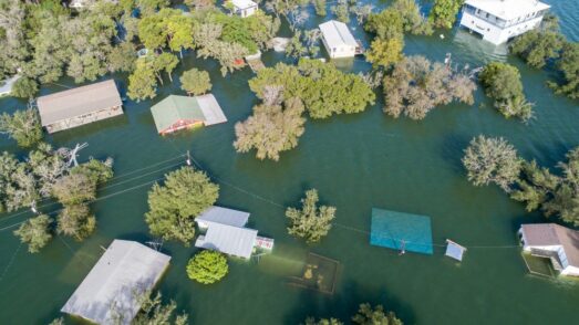
Go to Iowa Flood Center validation project: Benchmarking Fathom’s US Flood Map
Articles
Iowa Flood Center validation project: Benchmarking Fathom’s US Flood Map
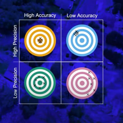
Go to Representing uncertainty in flood modeling
Articles
Representing uncertainty in flood modeling
Go to Fathom’s data powers NY urban flood risk digital twin demo at COP28
Articles
Fathom’s data powers NY urban flood risk digital twin demo at COP28
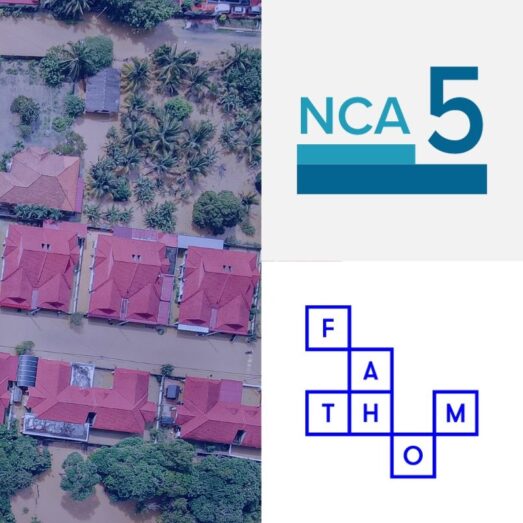
Go to The Fifth National Climate Assessment – our thoughts and inclusion
Articles
The Fifth National Climate Assessment – our thoughts and inclusion
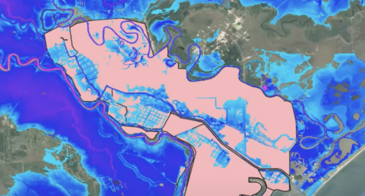
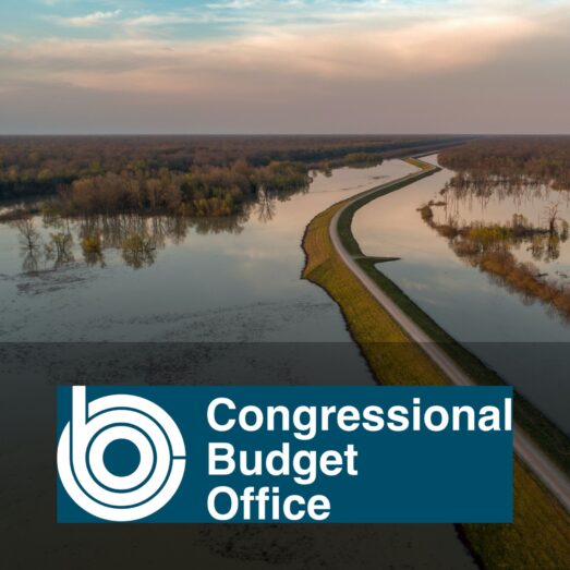
Go to Congressional Budget Office Report: Communities at Risk of Flooding
Articles
Congressional Budget Office Report: Communities at Risk of Flooding
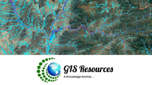
Go to Using geospatial technology to support climate change mitigation
Articles
Using geospatial technology to support climate change mitigation
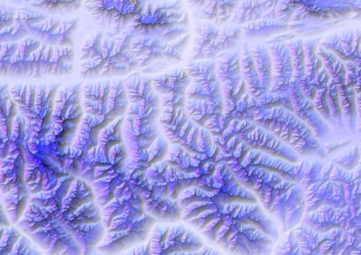
Go to The new standard for a globally consistent multi-source digital elevation model: Meet FABDEM+
Articles
The new standard for a globally consistent multi-source digital elevation model: Meet FABDEM+
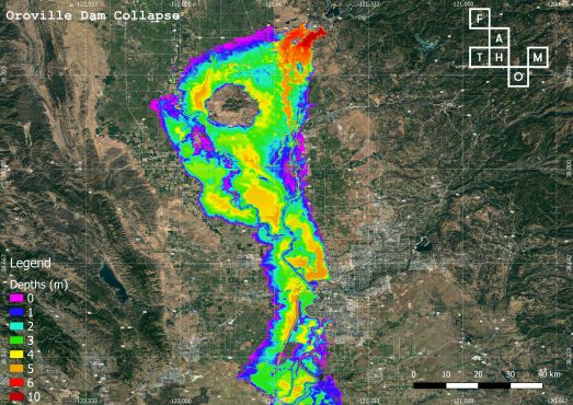
Go to US dam break scenarios
Articles
US dam break scenarios
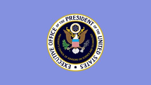
Go to A report to the US President: extreme weather risk in a changing climate
Articles
A report to the US President: extreme weather risk in a changing climate
Pages:
1
2
3
4
Discover our upcoming events or catch up with our webinars on demand
Fathom events