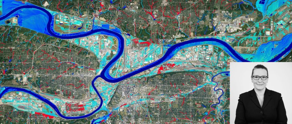
This week, Fathom is attending #ASFPM2022 where the team will discuss flood mapping in the U.S. At the start of the conference, Ruth Clarke will be presenting at the International Committee, where she will share insights into large scale models and their application across the U.S. and globally.
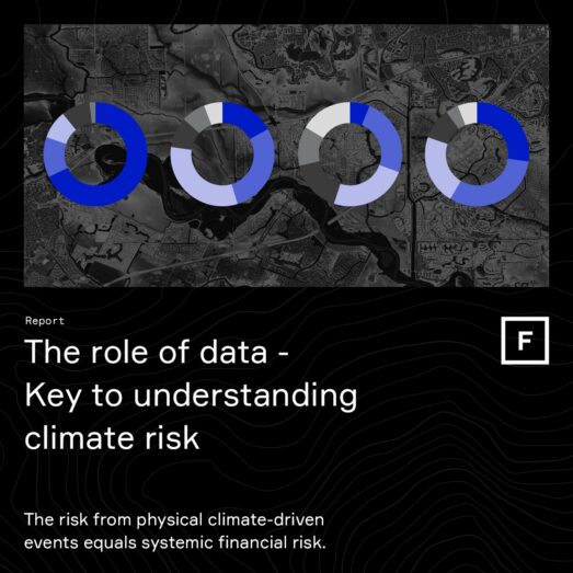
Understanding large scale flood models and their impact on disaster risk reduction and floodplain management
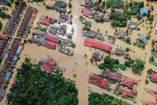
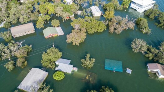
Engineers across the globe have been building detailed, local scale flood models for decades to help them understand the risk of flooding and investigate the likely impact of flood mitigation measures.
Over time, the complexity of these models has increased, due in part to the wider availability of open-source data and improved computational power, but also as research into this field has yielded new methods that improve model results.
These models are relatively fast and easy to build in areas with good historical data, but what about projects undertaken in areas of data scarcity or where the geographic scope is vast? The traditional detailed modeling approach will face constraints due to both time and cost, and alternative approaches must be considered.
In these cases, the use of large-scale flood models can provide a cost-effective, efficient and consistent view of flood risk. Models covering entire states, countries and even the globe are now available, providing valuable insight to the risk under our current climate, as well as future climate scenarios.
The flood risk data generated by these large-scale models can be used to supplement other detailed flood risk data sets which do not provide full geographical coverage, or can be used in areas where there is a dearth of data. The results of these large-scale models have been used effectively in many sectors, ranging from (re)insurance, emergency response, international aid and development.
In both data rich and data scarce locations, the use of large-scale flood modeling allows for the efficient identification of areas of high, or indeed low, flood risk. There are many applications which may benefit from this information; it can help identify areas where detailed flood models should be built and can also prove useful in determining high level suitability of protection/mitigation strategies.
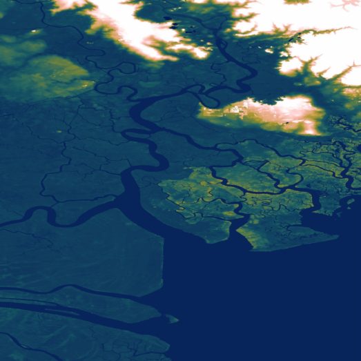
The challenges in developing large scale models are many: lack of (high quality) terrain data, unknown hydrography, estimation of stream flows in ungauged catchments and lack of historical rainfall data or sea level data recorded at an adequate spatial and/or temporal coverage to name just a few.
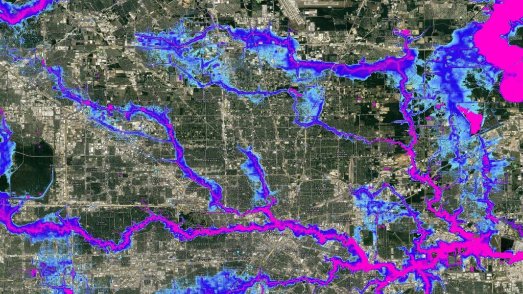
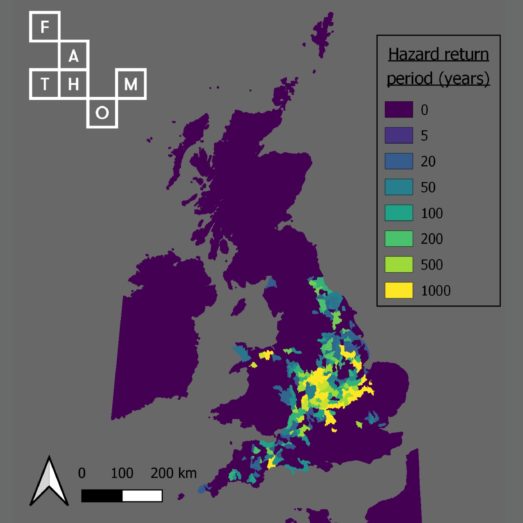
Fathom generates flood risk data by adopting a framework approach, in which open source data sets are combined with proprietary data sets and specialist algorithms to build and simulate flood risk on a global scale. The result is consistent maps of flood risk, based on published research, available for multiple return periods across the globe.
So, how are users leveraging these models?
ThinkHazard!, World Bank
Developed as part of the Global Facility for Disaster Reduction and Recovery (GFDRR), ThinkHazard! provides a general view of hazards, for any location globally. The tool has been created to promote the importance of disaster and resilience within project design and implementation. Fathom’s global flood hazard data has been used by the World Bank to underpin its inland (fluvial and pluvial) flood component.

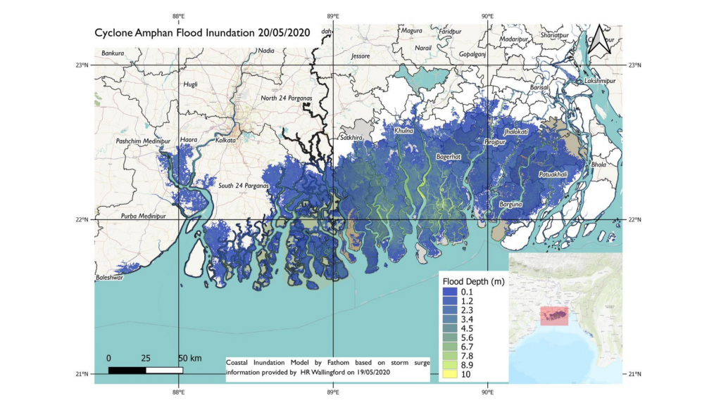
Emergency flood bulletins, FCDO
As part of its ongoing commitment to supporting countries to avert, minimize and address climate risk, the UK’s Foreign Commonwealth and Development Office has commissioned a collection of research organizations to provide reports assessing the extreme event’s potential risk and impact prior to the event’s arrival. This information allows on the ground responders to take action to reduce the event’s impact on human life. As part of this, Fathom provides a range of flood data for coastal and inland risk. Most recently, its terrain data has also been incorporated into assessments.
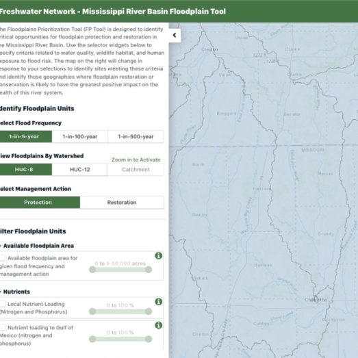
Flood prioritization tool, NRC
The Floodplain Prioritization Tool identifies critical opportunities for floodplain conservation and restoration in the Mississippi River Basin. Using data from Fathom-US 2.0, the Nature Conservancy have created this tool to prioritize hotspot risk in areas of floodplain connectivity.
The flood quilt, Texas Water Development Board
In 2019, the Texas Water Development Board became responsible for the development of a statewide flood plan for the State of Texas. They found that incomplete and inconsistent publicly available flood data was a major barrier to achieving this, with only 40% coverage across the state. They worked with Aqua Strategies, Halff Associates and Fathom to fill in the gaps of missing flood data. Watch the video below to learn more.