In this webinar, Fathom’s Head of Engineering is joined by FABDEM lead researcher Dr Laurence Hawker to discuss its application within the Asia-Pacific.
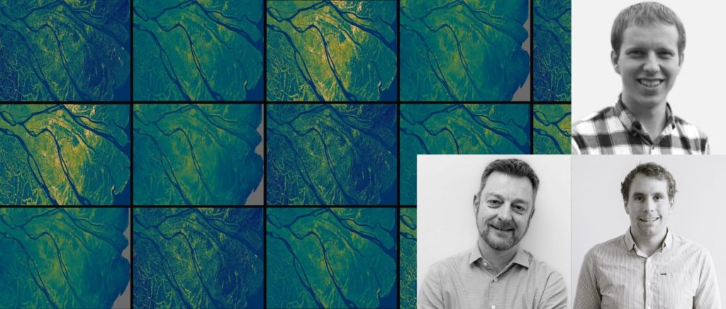
Watch experts discuss how the FABDEM was developed, what makes it different, and how it performs across the Asia-Pacific region.
About FABDEM
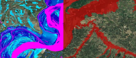
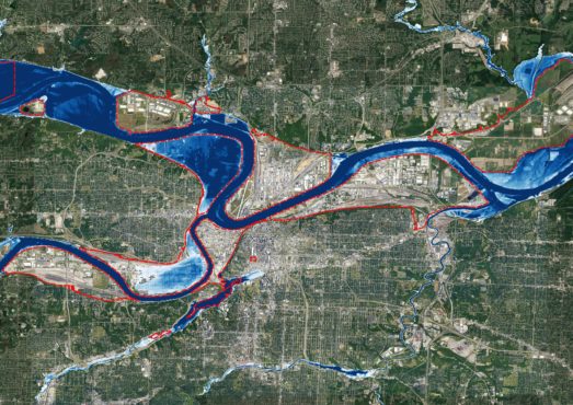
FABDEM (Forest And Buildings removed Copernicus DEM) is the first global digital elevation model (DEM) with forests and buildings removed at a 30-meter resolution. The data uses a correction algorithm to remove biases within the Copernicus GLO 30 Digital Surface Model (DSM) arising from the presence of objects on the earth’s surface. This data is ideal for professionals needing to understand flood risk or any terrain-related project on a global scale or in data-scarce regions.
Feedback callout – we are continually evolving this data. The more feedback that we have, the faster we will be able to make improvements. If you are able to help with this, please email Laurence.
Webinar Q&A:
We have not formally compared FABDEM against other data. We have done some visual comparisons against Coastal DEM and SRTM. We haven’t done any analysis against ASTER. This is because generally in previous research people have found ASTER to not to be as accurate as other DEMs.
I agree there is absolutely no ‘best’ DEM – you need to look at your use case and use the DEM which is best suited. In some cases you might even use multiple. We don’t provide the different layers as standard. People typically want the finished product, however, if there’s a research application I’d be interested to work with you on this. We are working with a few different research groups on various FABDEM related projects.
The data has been made available on the Google Earth Engine. More information on this has been shared here.
We use random forest regression models. We also assessed generalised linear models (GLMs) and generalised additive models (GAM), but found random forests to be accurate, computationally efficient and robust, hence an appropriate choice for this application.
No we split the data 75% for training and 25% for validation. For the validation section we use reference data but a different random sample. We also used some data that we didn’t use in the model to validate.
If anyone has any other LiDAR validation data we would be interested to hear how it compares.
The data does not include Armenia and Azerbaijan due to those countries not agreeing to release the data in Copernicus 30.