Join Fathom’s research team as they announce FathomDEM, a pioneering methodology that dramatically enhances terrain accuracy using artificial intelligence.
Building on the success of FABDEM, this latest innovation applies a hybrid vision transformer model to correct systematic biases and significantly improve spatial feature recognition. Having undergone extensive validation, FathomDEM is set to become the new industry benchmark for global terrain mapping, bringing results closer to the gold standard of LiDAR data.
In this webinar, hear from the paper’s lead authors as they break down exactly how. What you’ll learn:
- What challenges exist in current global DEMs? — Understanding the limitations of existing models and the problem we set out to solve.
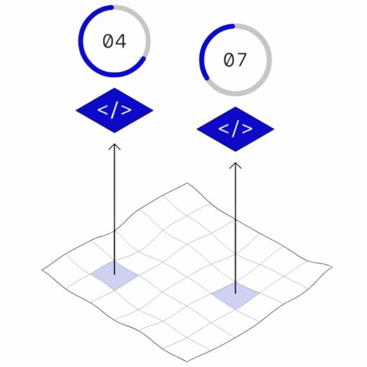
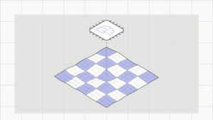
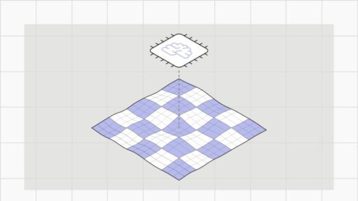
- The methodology behind FathomDEM — How AI and hybrid vision transformer models enhance terrain accuracy.
- Benchmarking against leading datasets — A comparative analysis of FathomDEM’s performance against publicly available datasets, including LiDAR, FABDEM, and others.
Register your place today.

Introducing: FathomDEM+ setting a new global standard for consistent terrain data
By combining bespoke machine-learning techniques with the world’s largest curated collection of LiDAR and other high-resolution datasets spanning over 10 million km 2 , FathomDEM+ delivers near-LiDAR-quality elevation data globally. Where LiDAR is available, it is incorporated directly; elsewhere, machine learning trained on LiDAR terrain data corrects elevation bias and removes surface artifacts, improving consistency across regions.
The research behind FathomDEM
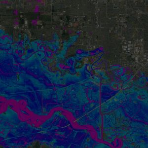
Accurate terrain data is essential across industries, yet existing global elevation models often suffer from biases caused by vegetation, buildings, and instrumentation errors. A new research paper in Environmental Research Letters introduces FathomDEM, a 30 m global digital elevation model built using a novel machine-learning approach to correct these errors. Tested on flood modeling, FathomDEM outperforms current leading DEMs and even approaches the accuracy of LiDAR-based models.
Fathom’s research into global terrain mapping
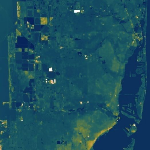
A 30 m global map of elevation with forests and buildings removed
This work signifies one of the biggest step-changes in global flood modelling capabilities since the advent of the field.
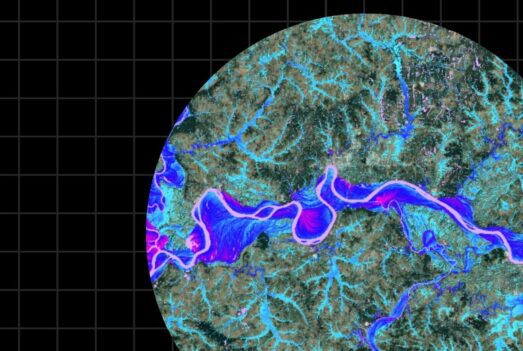
A high‐accuracy map of global terrain elevations
A significant set of systematic improvements to the SRTM terrain dataset produced by a project led by our colleague in Japan, Dai Yamazaki.
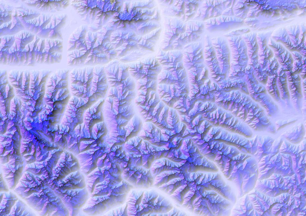
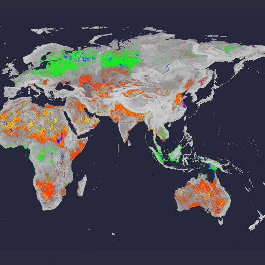
FathomDEM Global Terrain Map
A new research paper published in Environmental Research Letters outlines the creation of FathomDEM, a new global 30 m DEM produced using a novel machine-learning approach.
Bare-earth DEM generation from ArcticDEM and its use in flood simulation
New research tests ways to generate bare-earth data from ArcticDEM, one of the next-generation digital elevation models that could become an alternative to radar-based DEMs.
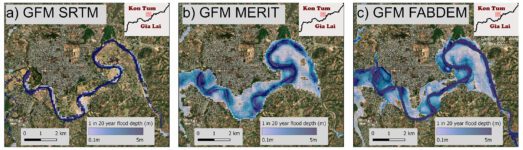
Using FABDEM to assess flood risk in the Central Highlands of Vietnam
Researchers have integrated Fathom’s bare earth terrain data into a global flood model to calculate exposure in a data-scarce region of Vietnam