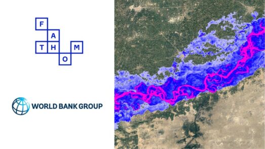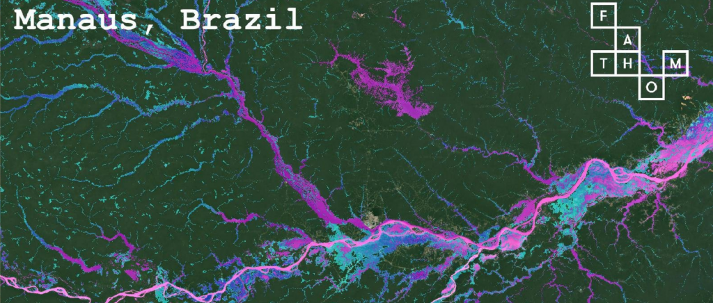
Product launches 01.05.2018


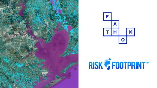
Our latest Global Flood Hazard data has been released for Latin America.