Today, we launched our new Global Flood Map, Fathom-Global 3.0. For the first time risk professionals can access all perils and climate options
Our most advanced flood map to date, Fathom-Global 3.0 is truly cutting edge in the way that it approaches fundamental processes around hydrology, hydraulics and climate change

Introducing Fathom-Global 3.0
Our most advanced flood map to date, Fathom-Global 3.0 is truly cutting edge in the way that it approaches fundamental processes around hydrology, hydraulics and climate change
For insurers, engineers, asset managers and investors, Fathom-Global 3.0 revolutionises how risk professionals can understand and integrate flood hazard and climate change data into their operations.
In this launch webinar, we present our latest flood and climate modelling methodologies, what makes them unique and how they will make a difference to your understanding of global flood risk.
Key features of the Global Flood Map include:
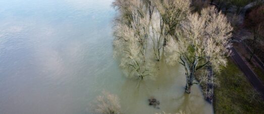
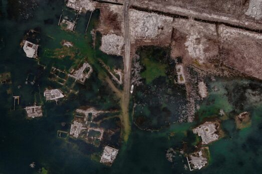
Fluvial, pluvial and coastal perils
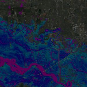
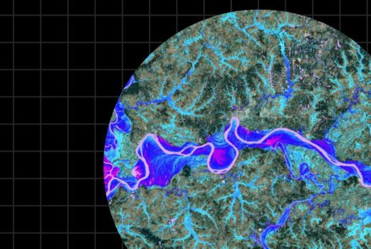
The first complete global view of flood hazard
Climate Dynamics
Users can access climate conditioned flood hazard data for any projected combination of future year and climate scenario up to 2100
Terrain Data
Fathom-Global is underpinned by a Digital Elevation Model (DEM) of unparalleled quality that combines FABDEM with the best available local data
Fathom API
Fathom’s API allows instant on-demand access to all of Fathom’s spatial data
100% of river channels
Complete global coverage of every river, dynamically modelled to estimate channel size and river depth

Related webinar: The making of Fathom’s Climate Dynamics framework
We are hosting a series of webinars that will explore, in detail, the development and key features of our new flood map. The next webinar will explain – The making of Fathom’s Climate Dynamic framework.
Fathom’s scientists will explain its development, the research and methodology underpinning it, and how it varies for each peril.
Learn more about our Global Flood Map
Fathom-Global 3.0 is the most robust and comprehensive global flood map in the world. It revolutionises how insurers, financial institutions, engineers, corporates and governments can understand and integrate flood hazard and climate change data into their risk operations.