Questions to ask your flood modelers
A handy guide to help you distinguish essential model features from the noise
Download the checklist from Fathom to help you to:
— Cut through the noise surrounding flood and climate risk data.
— Understand the common misconceptions and pitfalls to keep an eye out for.
— Critically evaluate the data and methods underlying any flood hazard model.
Scroll to learn more…


What can I expect to learn?
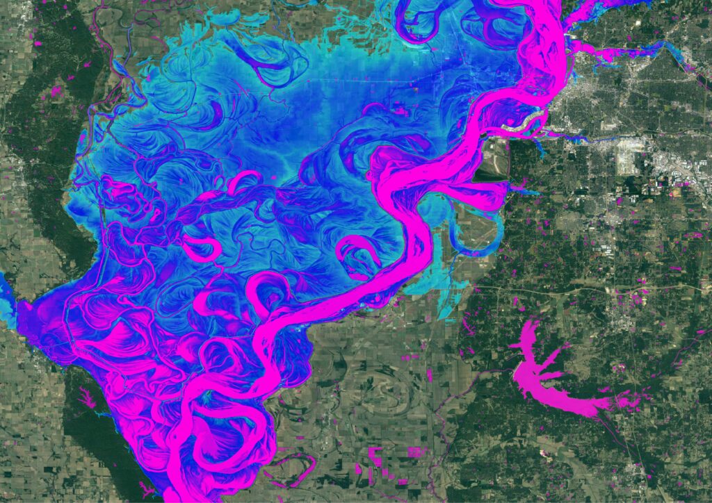
Flood losses have inundated re/insurers’ claims books, making this so-called ‘secondary’ peril very much a primary concern for risk carriers worldwide. Coupled with increasing requirements to stress test against a changing climate landscape, the insurance sector is experiencing fast-evolving demand to quantify and evaluate this growing risk.
This checklist provides a toolkit of questions to help critically evaluate the data and methods underlying large-scale flood hazard maps. These questions are applicable whether the model is being used to generate historical or climate-conditioned flood hazard maps; with applications across asset pricing, portfolio risk assessments, investment due diligence, regulatory reporting and more.
Access the ‘Questions to ask your flood modelers’ checklist to learn:
- Key misconceptions in flood modeling
- The different components that can impact a model’s result
- How to determine adequate skill in the model
- What to look out for in the responses that you get back from your modelers
Who is Fathom?
Fathom provides the planet’s most rigorous and cutting-edge water-risk intelligence on the market.
We are experts in climate impacted flood risk, the most costly natural disaster. Our global data, maps and models will give you confidence in your physical climate-risk assessments, to help ensure your climate-risk reporting and management:
- are built on solid scientific foundations
- provide the best support for the long-term financial resilience of your organisation or portfolio
- stand up to scrutiny – whether from regulators, investors or board members
- is consistent on a global scale, whether a portfolio’s assets are spread across data scarce and remote parts of the world or in developed nations
World-leading (re)insurers and financial services firms use our products to add clarity to their business, supporting teams in underwriting, pricing, catastrophe modeling and regulatory reporting.

Quote Fathom is an innovative and dynamic organisation at the forefront of flood risk research. They offer a range of specialist modelling tools and use a clear and impressive methodology.
Read Case StudyQuote Fathom provide a first-rate product and service based upon cutting-edge research and methodologies, which are both robust and transparent. Their flood data sets are global, consistent and high calibre. Most importantly, Fathom is a responsive and collaborative firm who consistently deliver.

Quote Fathom’s flood hazard and risk data products are critical to assessing risks to Microsoft’s cloud infrastructure. In this way, their data impacts the delivery of services relied on by the 400 million global users of Office 365, Outlook.com and OneDrive, and the 48 million members of Xbox.
Quote Aqua Strategies is proud to work with Fathom on this truly innovative method for greatly improving how we develop flood risk maps in Texas. Successful delivery on this project demonstrates possibilities for the remaining 49 states, and beyond.

Quote We would like to express our gratitude to both the physical risk open data providers as well as to the plethora of technical experts for all of their contributions to this exercise over the past two years.
Read Case StudyWhat does Fathom offer businesses?
Globally consistent view of flood risk
— Truly global flood maps at a minimum of 30 meter resolution, covering all flood perils: pluvial, fluvial and coastal.
— ~10 meter resolution across the contiguous US.
Dynamic framework for all future climate scenarios
— Don’t rely solely on historic data. Represent the risk of yesterday, today and tomorrow with Fathom’s climate driven models.
—Represent any climate state, under any emissions pathway and any warming scenario or time horizon.
Simple, rapid access to our dynamic data on your terms
— Whatever your need, Fathom data is available in a range of access options. Access global climate-conditioned data via: Fathom API, Fathom Portal, on premise or via our partners.
High resolution data, underpinned by state-of-the-art terrain data
— Pinpoint locations of high-risk assets at a resolution of one arcsecond – or 30-meters globally. Regional flood maps are available at 10-meters, including the US.
— This is underpinned by our best-in-class terrain dataset – FABDEM+.
Transparent, peer-reviewed datasets
— We publish all our data in peer-reviewed journals, including some of the most respected and rigorously assessed titles in the academic world. Our team and their academic publications are some of the most cited in their fields.
— Know exactly where the data come from, the methodologies and validation techniques used and how they’ve been independently assessed for quality.
Ongoing customer support
— Get the best for your operations. Our in-house climate and financial risk experts and dedicated Customer Success team will talk you through our products, step-by-step and long after purchase.
Download the checklist
- Cut through the noise surrounding flood and climate risk data.
- Understand the common misconceptions and pitfalls to keep an eye out for
- Critically evaluate the data and methods underlying any flood hazard model