Featuring the latest advances in global flood hazard modeling, join us to hear how leading engineering firms and public sector organizations are using Fathom data to increase efficiency in flood risk modeling and management. The case studies presented demonstrate how this data helps you understand flood risk both today and up to 2100, under multiple climate scenarios.
Flood risk assessment has many use cases, from floodplain management and infrastructure resilience and adaptation to policy creation. While traditional public sector flood maps and detailed local assessments such as Base Level Engineering (BLE) offer significant insights, there are also many limitations.
Flood maps from traditional government sources, like FEMA, EA & NEMA, whilst important in providing broadscale coverage, can lack coverage of smaller river channels, will be outdated in certain regions, may not include pluvial flooding risk, often do not include the latest flood projections under a range of future climate scenarios and invariably have a lower range of return periods meaning that more frequent or severe flood events are not represented.
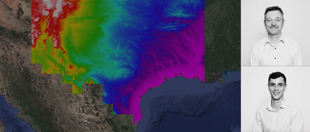
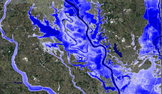
With technological advancement over the last few years, large-scale flood maps – like those offered by Fathom – are beginning to bridge the data gap. Solutions such as our US and Global Flood Map leverage cutting-edge AI, ML and advanced research to deliver one consistent, unified view of flood risk across whole countries and the entire world, for current and future flood risk under different climate scenarios that are now observed to be within error of real-world flood events.
The ability to rapidly access detailed flood data for pluvial, fluvial and coastal flooding, under present and future climate scenarios, provides a big opportunity for engineers.
This webinar will explore how engineers, infrastructure planners, and government planning groups can leverage this technology to gain the complete picture of flood risk.
You will learn how large-scale modeling techniques can help to:
- Discover how Fathom data seamlessly integrates with your existing modeling processes, amplifying their effectiveness
- Bridge the data gap by utilizing Fathom’s high-resolution data to complement and supplement outdated or unavailable local mapping and government datasets, ensuring comprehensive analysis
- Minimize the time between project identification and application
- Rapidly screen assets for climate adaptation and resilience projects
This webinar will offer a technical deep dive into the current technological landscape before exploring how these data can supplement government data sources.