Questions to ask your flood modelers
A handy guide to help you distinguish essential model features from the noise
Download the checklist from Fathom to help you to:
— Cut through the noise surrounding flood and climate risk data.
— Understand the common misconceptions and pitfalls to keep an eye out for.
— Critically evaluate the data and methods underlying any flood hazard model.
Scroll to learn more…


What can I expect to learn?
Increasing model complexity brings more of a challenge in identifying which components and methods are most important when modeling the impact of climate change. Exacerbated by the increasingly competitive landscape of civil and environmental engineering, where engineers are being tasked with integrating even more geospatial and climate data into their operations.
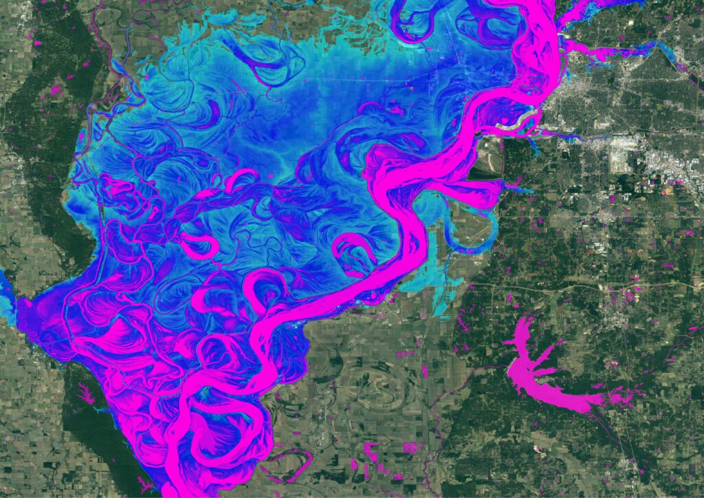
This checklist provides a toolkit of questions to help critically evaluate the data and methods underlying large-scale flood hazard maps. These questions are applicable whether the model is being used to generate historical or climate-conditioned flood hazard maps, with applications across asset management, infrastructure planning and digital twins/environments and climate risk and resilience analysis.
Access the ‘Questions to ask your flood modelers’ checklist to learn:
- Key misconceptions in flood modeling
- The different components that can impact a model’s result
- How to determine adequate skill in the model
- What to look out for in the responses that you get back from your modelers
Who is Fathom?
At Fathom, we take pride in delivering award-winning flood and climate risk solutions on a global scale. Our commitment lies in providing innovative, locally relevant physical models tailored to meet the needs of engineers. By continuing to publish cutting-edge peer-reviewed academic research and applying it to real-world challenges, Fathom enables stronger decision-making for civil engineers, government agencies, disaster response and beyond.
Most notably our collaboration with the Texas Water Development Board supported them to navigate the challenges that they were having around inconsistent, outdated and incomplete data. In just six months, we delivered a complete flood map for the entire state of Texas, playing a pivotal role in helping them to develop the first comprehensive, bespoke statewide flood maps.
Quote I’d like to thank the effort of regional flood planning groups, its members, technical consultants, the public and other agencies who have been putting in a lot of time to put together regional flood plans, essentially going to come together as the first State Flood Plan for Texas.
Read Case StudyQuote Fathom’s most recent release – Fathom-Global 3.0 – provides flood maps for anywhere in the world, and at improved levels of detail, providing information to help decision makers better manage their future flood risk by considering climate change and the associated uncertainty.
Read Case Study
Quote “Fathom’s data really help our customers solve spatial questions on a global scale and with hyper-local detail. By partnering with Fathom, we can provide granular data for different markets or countries where our international customers have interests.”
Quote Fathom’s methods of peer review give it a different kind of credibility. We knew that they were the experts and the right people to work with. The team was really enthusiastic about supporting our innovation goals and very generous with their time explaining how to use and interpret the data.
Quote “At Floodbase, we value scientific rigor and transparency. This is one of the main reasons we chose to work with the team at Fathom.”
Read Case StudyWhat does Fathom offer engineers?
Globally consistent view of flood risk
—Truly global flood maps at a minimum of 30 meter resolution, covering all flood perils: pluvial, fluvial and coastal.
— ~10 meter resolution across the contiguous US.
Dynamic framework for all future climate scenarios
— Don’t rely solely on historic data. Represent the risk of yesterday, today and tomorrow with Fathom’s climate driven models.
—Represent any climate state, under any emissions pathway and any warming scenario or time horizon.
Simple, rapid access to our dynamic data on your terms
— Whatever your need, Fathom data is available in a range of access options. Access global climate-conditioned data via: Fathom API, Fathom Portal, on premise or via our partners.
High resolution data, underpinned by state-of-the-art terrain data
— Pinpoint locations of high-risk assets at a resolution of one arcsecond – or 30-meters globally. Regional flood maps are available at 10-meters, including the US.
— This is underpinned by our best-in-class terrain dataset – FABDEM+.
Transparent, peer-reviewed datasets
— We publish all our data in peer-reviewed journals, including some of the most respected and rigorously assessed titles in the academic world. Our team and their academic publications are some of the most cited in their fields.
— Know exactly where the data come from, the methodologies and validation techniques used and how they’ve been independently assessed for quality.
Ongoing customer support
— Get the best for your operations. Our in-house climate and financial risk experts and dedicated Customer Success team will talk you through our products, step-by-step and long after purchase.
Download the checklist
- Cut through the noise surrounding flood and climate risk data.
- Understand the common misconceptions and pitfalls to keep an eye out for
- Critically evaluate the data and methods underlying any flood hazard model