
CARTO
Helping businesses tackle climate risks
Fathom enabled CARTO to meet its customers’ demand for global and detailed flood-risk data.
About
CARTO is the world’s leading location intelligence platform. It serves global sectors, including insurance, real estate and infrastructure industries. CARTO’s interactive maps allow users to conduct spatial analyses that shape key business decisions.
The challenge
In recent years, CARTO’s customers have become increasingly concerned about the risks of climate change to their business operations.
Flooding and other climate hazards are escalating in size and frequency across much of the globe. Businesses are increasingly looking for tools that identify which hazards could damage which assets, and to what degree.
For insurance companies, this knowledge strengthens their underwriting. For real estate and infrastructure industries, such as construction, engineering and utility firms, it not only helps them understand risks to existing assets, but also where to place new ones to adapt to future challenges.
CARTO offers over 12,000 datasets to its customers to use in assessments. These data include everything from demographic statistics to housing information.
Yet, before 2022, it was unable to provide detailed flood-risk data. Filling this critical gap would enable CARTO’s customers to make better-informed decisions amid the uncertainty and turbulence of climate change.
“More and more of our customers are really taking note of climate risk. They need to work out which of their assets are most at risk to flooding and other climate events.”
– Helen McKenzie, Geospatial Advocate, CARTO
The solution
CARTO explored the market for a flood-risk data partner. Fathom’s climate-change expertise and its highly granular, global data convinced CARTO that it was the right provider to work with.
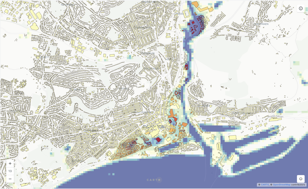
Fathom licensed the most robust and comprehensive global flood map in the world to CARTO. Global Flood Map is the first flood map to provide complete coverage of all perils—fluvial, pluvial and coastal — for the entire globe and for multiple future climate scenarios. Its 30-metre resolution offers fine detail at global scale.
Quote
“Fathom’s data are super granular, which is something that our customers value a lot. You need that granularity to really understand how a flood will impact an asset.”
Discover Fathom’s Global Flood Map, The first global flood map to provide risk professionals with all perils and climate options
The result
Since November 2022, CARTO has offered Fathom’s flood-risk data to customers. The data strengthen CARTO’s provision to users by enabling:
- A stronger understanding of climate risks: by using Fathom’s data within CARTO, customers can understand the financial impacts of both optimistic and pessimistic climate scenarios on their assets, and better protect themselves against risks.
- Ease of global assessment: Fathom’s global footprint allows customers to assess risks to their assets in markets and countries the world over, and to quantify them consistently.
- Time savings: customers no longer need to create bespoke flood models for individual projects. This frees up time and resources for more productive tasks.
- In-depth analysis: CARTO provides the flood-risk information as a dataset, not a static image. This allows CARTO’s users to fully interrogate and control the data and conduct, for example, hotspot analysis.
Quote “Fathom’s data really help our customers solve spatial questions on a global scale and with hyper-local detail. By partnering with Fathom, we can provide granular data for different markets or countries where our international customers have interests.”