
Fiji is one of the countries in the world that is most affected by cyclones, floods, and landslides. In February 2016 Tropical Cyclone Winston killed 44 people, destroyed nearly 130,000 homes (affecting 15% of the population) and caused an estimated US$1.38 billion (31% GDP) in damage and losses.
The country’s exposure to climate change and recurrent disasters, combined with other geographical and structural challenges specific to small island developing states (such as remoteness and internal dispersion) can jeopardize development achievements and aspiration for future growth and poverty reduction.
There is therefore critical administrative need to build resilience through sustainable and fiscally pragmatic measures.
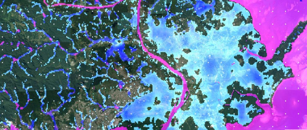
The Fijian government sought support from the World Bank to develop a climate vulnerability assessment under Article 7.9 of the Paris Agreement, and our role at Fathom was to develop present-day and future-scenario flood hazard layers for the major populated islands of Fiji.
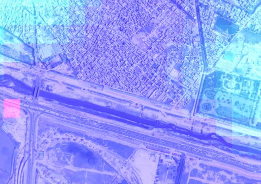
One of the major challenges of this project was the lack of high quality local terrain, river or rainfall data. We used our expertise in regionalisation methods to make the best use of what data was available, while employing the MERIT DEM as best-available terrain data. These data were then used to drive our 2D hydraulic modelling framework and produce flood hazard layers for a range of return periods. We were able to benchmark our model against a very high resolution (2m) local engineering study on the Nadi floodplain built with LIDAR and found good agreement between the two models for the present-day 1 in 100 year floodplain.
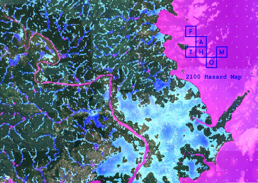
A multi-model ensemble approach from the Climate Model Inter-comparison Project 5 (CMIP5) was used to simulate worst-case scenarios for 2050 and 2100 by looking at projected changes to cyclone season rainfalls. Although the mean predicted change in rainfall across all models is small, there is a large amount of inter-model variation with the 90th percentile suggesting monthly rainfall totals could increase by 36% by 2100. This value was used to perturb input rainfalls and flows for a worst-case model scenario, and the results suggest the potential for large increases in flooded areas across the major floodplains in Fiji, particularly during high-frequency low-magnitude (i.e. < 1 in 50 year) events.
This finding is in common with several studies that we and other researchers have performed. Typically, any changes to rainfall or river flows are most strongly felt in terms of impact during higher frequency (but lower magnitude) events. This is because floodplains are usually quite flat, and a small change in water height can cause a large change in flooded area – but only until such a point where waters start to reach the edge of a floodplain. During larger scale events where waters already reach the natural floodplain edge, any extra water can only cause small increases in flood extents and the additional damage caused by slight increases in water depths is likely to be marginal.
The results of this work were incorporated into the climate vulnerability assessment report for Fiji, which was presented at the UNFCCC COP23 in Bonn in November 2017.