-
Schumann, G.,
-
Stampoulis, D.,
-

-
-
Andreadis, K.,
-
-


The first continuous long-term (1973-2012) high resolution simulation of river flow and flooding at the continental scale.
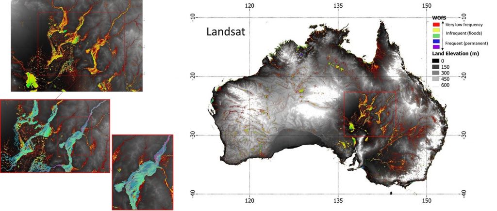
Flooding is governed by the amount and timing of water spilling out of channels and moving across adjacent land, often with little warning.
At global scales, flood hazard is typically inferred from streamflow, precipitation or from satellite images, yielding a largely incomplete picture. Thus, at present, the floodplain inundation variables, which define hazard, cannot be accurately predicted nor can they be measured at large scales. Here we present, for the first time, a complete continuous long-term simulation of floodplain water depths at continental scale. Simulations of floodplain inundation were performed with a hydrodynamic model based on gauged streamflow for the Australian continent from 1973 to 2012. We found the magnitude and timing of floodplain storage to differ significantly from streamflow in terms of their distribution. Furthermore, floodplain volume gave a much sharper discrimination of high hazard and low hazard periods than discharge. These discrepancies have implications for characterizing flood hazard at the global scale from precipitation and streamflow records alone, suggesting that simulations and observations of inundation are also needed.