For smarter underwriting, pricing and regulatory reporting
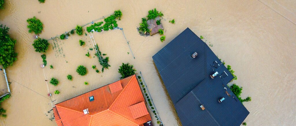
Flood losses have inundated re/insurers’ claims books, making this so-called ‘secondary’ peril very much a primary concern for risk carriers world-wide. Coupled with climate change and financial regulation the insurance sector is experiencing fast-evolving demand to quantify and evaluate this emerging risk.
Insurers across all lines of business need to supplement historic claims data with high-quality flood hazard information to meet growing pressure to understand their exposure – for now and also in the future.
This white paper demonstrates how Fathom’s Global Flood Map can strengthen insurers’ understanding of flood risk through scientifically reputable and transparent data. It explains the scientific underpinnings of Global Flood Map and presents use cases to illustrate its practical applications and benefits for underwriting and pricing across asset types, and for meeting regulatory mandates.
The report explores four key use cases:
Personal lines and small businesses

Commercial lines across multiple locations

Large sites

Regulatory and reporting

Insurance use cases webinar
In our recent webinar Fathom’s Dr Andrew Smith, Dr Matthew Jones and Harry Vardigans explore the use cases for the Global Flood Map as well as uncovering the science behind how Fathom creates these models at a global scale.