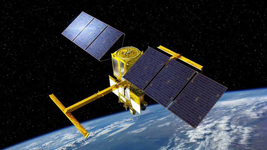

SWOT (Surface Water and Ocean Topography) is a new satellite that will survey the Earth’s oceans, major lakes, rivers and wetlands. It will measure all of the water on the planet’s surface in one big survey, and then repeat this every 21 days. Never before have oceans and inland water bodies been measured at the same time, and never to this level of detail. The data will be collected using radar interferometry; the combination of radar signals to generate a 3D image of the Earth’s surface. The data collected by the SWOT survey will:
- Assess water resources on land
- Monitor coastal movement / processes
- Track regional sea level changes, and
- Observe small-scale ocean currents and eddies.
Among many other uses.
The satellite was launched in December 2022 from Vandenberg Air Force Base in California. Space X was chosen to provide launch services, which were overseen by NASA’s Launch Services Program at the Kennedy Space Center in Florida.
SWOT is a joint development between NASA and Centre National D’Etudes Spatiales (CNES), with contributions from the United Kingdom Space Agency and the Canadian Space Agency (CSA). The lead UK scientists are our own Chairman, Professor Paul Bates CBE FRS along with Dr Paul Bell and Dr Christine Gommenginger of the National Oceanography Centre (NOC), and Dr Simon Neill of Bangor University.

What data is the SWOT satellite mission collecting?
Freshwater
Thanks to SWOT, we’ll have key measurements of water level and slope for hundreds of thousands of lakes and all the planet’s medium-large rivers for the first time. This data will support scientific research by providing:
- An understanding of the global water cycle on land.
- A global inventory of water resources across lakes, reservoirs and transboundary rivers.
- Greater insights into the dynamics of floodplains and wetlands.
Oceans, coasts and climate change
With today’s technology, much of the ocean’s motion is too small to be detected on a global scale. However, these currents contain most of the energy that powers the mixing and transport of water. Global ocean circulation balances the planet’s climate and this movement is an important factor in assessing climate change. The information from SWOT is supporting this by providing:
- A better understanding of coastal processes relating to the likes of fisheries, ship navigation, shoreline erosion and dispersal of pollutants.
- Measurements for ocean currents and swirling eddies at scales as small as 13 miles.
- Ocean circulation data that can be input into computer models to better project future climate change conditions.
“Over time, these incredibly accurate, precise, and spatially continuous measurements will have profound impacts on our ability to accurately model water across the entire planet. Missions such as this demonstrate the critical ongoing value of publicly funded projects generating open-source data for the global scientific community.”
Dr Chris Sampson, Chief Technical Officer, Fathom
What does the SWOT satellite mission mean for Fathom?
Overall, we’ll be able to use the data collected by the SWOT satellite mission to improve our flood risk models, and further increase our ability to predict flooding into the future. For our portfolio of products, model validation – which is a critical element of the scientific rigor we apply to our models – can be conducted using the data collected by SWOT. This will involve comparing this imagery to the datasets and industry-leading machine learning techniques applied to our products. In particular, the monitoring and measurement of water elevation levels will reveal the previously unknown river channel bathymetry.
“All the instruments we’ve had in the past have had large gaps in coverage and with SWOT we’ll have an amazing way of mapping things like floods and droughts in ways that we’ve just not been able to do before.”
Prof Paul Bates, Chairman, Fathom
For Paul, who was a part of the mission’s conception and remains a member of the SWOT Mission Science team, the project is particularly meaningful:
“This mission demonstrates the ability for anyone to drive change. What began as a discussion with like-minded innovators approximately 20 years ago has evolved into a project that will drive scientific advancement in hydrology and unlock the potential for even further progress.”
Prof Paul Bates, Chairman, Fathom
The timeline for the SWOT satellite mission
2004
A small team of scientists (including Prof Paul Bates) meet in California to discuss the hydrological data they were missing, and the idea for the SWOT satellite mission is born.
2007
SWOT first appears as one of the 15 missions listed in the 2007 National Research Council Decadal Survey of Earth sciences missions that NASA should implement in the following decade.
2015
The project enters Phase B: Preliminary Design & Technology Completion.
2016
SWOT is approved for implementation.
2022
Launch!
2023
Approximately 6 months after launch, SWOT enters its ‘fast sampling’ phase; capturing images of a select number of locations every day for the SWOT Science Team to use to calibrate and validate the satellite. Once this three-month stage is complete, the satellite rises from 857km to an altitude of 891km for its nominal 21-day repeat orbit.
2025
Project closeout.
Want to learn more?
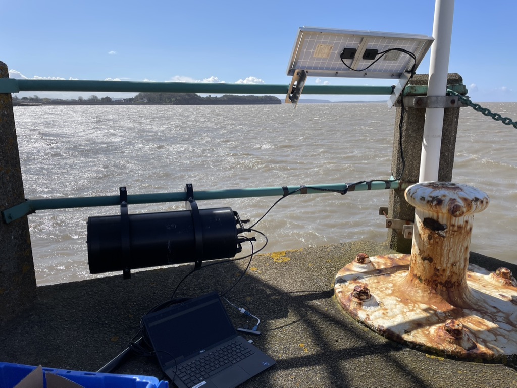
Hear Paul talk to hosts Richard Hollingham and Sue Nelson on the Boffins Podcast about why Bristol was chosen as one of the calibration-validation locations, and how the idea of the project was first pitched to the space industry.</span
Cute Mars Rovers – Space Boffins
A number of experts, including Paul Bates, explain the purpose of the SWOT mission, some of its history and the role of different individuals in its evolution:
Fathom is constantly involved in scientific and academic research to advance the field of understanding water risk.