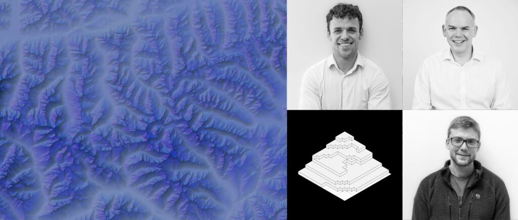
The new standard for globally consistent and accurate digital elevation models
Join us as we launch the next evolution in global elevation mapping: FABDEM+. By blending together thousands of datasources, FABDEM+ unlocks a new era of high-resolution, globally consistent terrain data. This technology combines the best of enhanced local data (LiDAR), machine learning, and satellite data, offering a comprehensive and innovative approach to elevation mapping.
In a world where precise geospatial information has the potential to advance risk analysis and transform geospatial, planning and mapping practices, FABDEM+ offers a new standard for accuracy and reliability. We’ll share more on this in our on-demand webinar including exploration of FABDEM+’s formation, methodologies and applications across planning linear assets, insurance claims lifecylces, hazard mapping, the creation of artificial digital environments and beyond.
This webinar is designed for professionals across a wide spectrum of industries, including:
- Geospatial experts: Explore the latest advancements in terrain data.
- Data scientists: Learn how FABDEM+ can enhance your data-driven projects.
- Risk officers: Discover how FABDEM+ can bolster risk mitigation strategies.
- Infrastructure planners: Uncover the benefits of accurate terrain data in your projects.
- Emergency response teams: Understand how FABDEM+ aids in disaster planning and response.
- Business leaders: Explore the corporate advantages of FABDEM+ in decision-making.
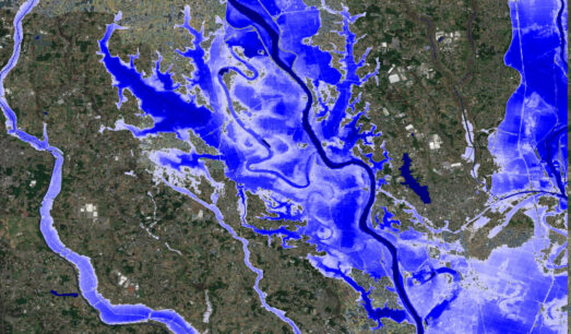
- Insurance claims: Gain efficiency and saves resources within you flood-claim lifecycle
- Cat modeling: Augment existing catastrophe models with new data, or benchmark findings and predictions from existing datasets
Watch the webinar on demand to gain insight into this next step towards global terrain data.