Intro
Understanding the impact of flooding is essential for any floodplain practitioner, engineer, state infrastructure or asset owner involved in making decisions about risk. Yet, widely used approaches for the modeling of floods are often limited, time consuming and expensive.
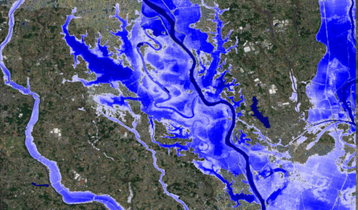
As new technology and scientific research become available, sophisticated computational modeling methods are being developed at large scale. How can water specialists leverage these advanced numerical models to gain a rapid and objective assessment of flood risk across the US?
Register below to watch the webinar recording on-demand.
In this webinar, expert speakers from Fathom examine the latest advances in US flood mapping.
Key discussion points include:
- Collaborative research exploring perceived versus actual levels of US flood exposure
- Developing models at a large scale
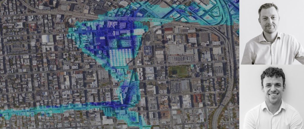
- Model validation and Fathom’s work with FEMA data
- Available solutions towards mapping US flood risk
- Case studies