Meet the team behind the data.
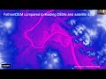
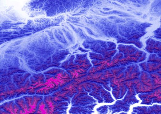
FathomDEM+ comprises best-in-class global elevation data along with associated terrain metadata at ~30m and ~10m resolution. It combines machine learning-enabled FathomDEM and one of the largest databases of LiDAR (the gold standard in terrain data accuracy) in the world. The result is one of the most accurate global digital elevation models available. Highly accurate terrain data is essential not just to flood modeling, but a vast array of sectors from engineering and infrastructure to location based platforms and disaster response.
In this webinar, Fathom’s Head of Engineering, Gavin Lewis, and some of the researchers behind FathomDEM+ will cover the following topics:
- What is FathomDEM+ and why does accurate terrain data matter?
- How was this new dataset developed, collating one of the largest LiDAR datasets in the world.
- How Fathom has used machine learning to enhance terrain data accuracy
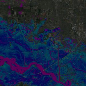
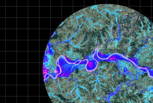
- Applications in flood modeling, and improving flood model accuracy.
FathomDEM research paper

Fathom experts published their research ‘FathomDEM: an improved global terrain map using a hybrid vision transformer model’ in the journal Environmental Research Letters. To learn more about the research behind our new FathomDEM+ global terrain data, read the paper in full.
If you want to hear from our experts, you can watch the team behind the paper present their findings in our webinar.
Watch the webinar