Available on-demand
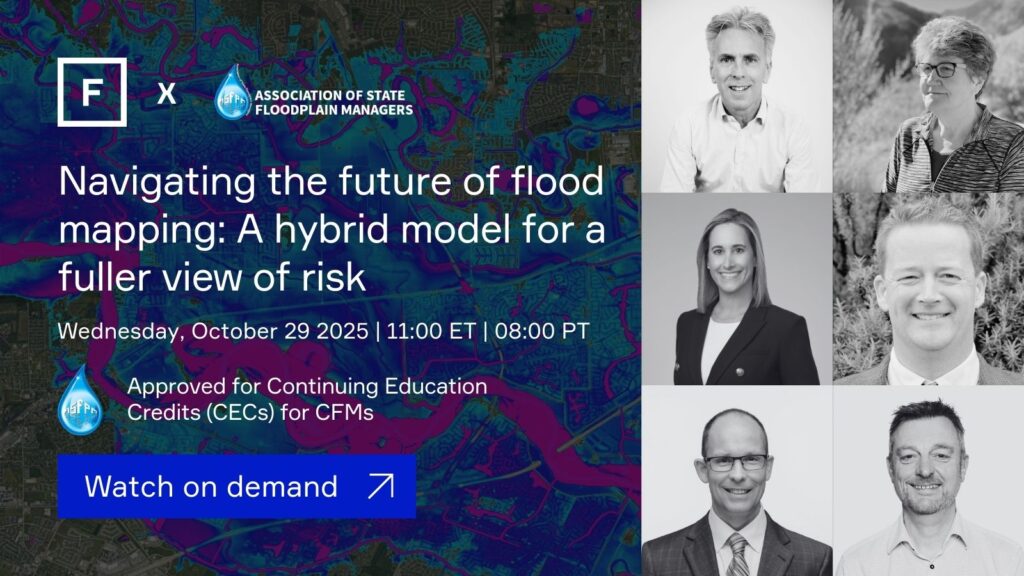
Navigating the future of flood mapping: A hybrid model for a fuller view of risk
Wednesday, October 29, 2025 | 11:00 ET | 08:00 PT
Flood mapping is at a turning point.
As FEMA redefines its role in flood risk management and data provision, state and local agencies are being called to lead the next chapter. One that is shaped by private-sector tools, physics-based models and dynamic national-scale data that better capture today’s (and tomorrow’s) flood risks.
Join us for a forward-looking panel discussion exploring the shifting landscape of flood data. We’ll examine how new private-sector tools, physics-based models and national-scale risk datasets are filling critical gaps in flood mapping, and what this means for state and county-level resilience planning and decision-makers on the ground.
We’ll explore:
- What’s next for flood mapping? As flood mapping shifts from traditional methods to dynamic models, how should we define a “good” map for the next decade, and what role should federal and state governments play in setting standards?
- Evolving public data and the rise of private flood data in state resilience planning. With the evolution of public flood data and the growth of private datasets, state-level resilience planning must navigate gaps in legacy data, changing standards and concerns around cost, transparency and accessibility. Is a hybrid public-private model the way forward?
- What are the key benefits and risks of collaborating with private sector flood data providers? Public-private data interoperability will play a key role in shaping regulatory and planning workflows, but collaborating offers both opportunities and risks. What should users look for in their private data provider to ensure reliability and accuracy, and what’s needed to build trust in these methods?
You’ll walk away with:
- A clearer understanding of how to navigate the evolving flood data landscape
- How to evaluate data for accuracy, transparency and fitness for purpose
- Insights into the growing role of state leadership in resilience planning
This session will explore the challenges and opportunities of the evolving flood data landscape before delving into how public and private data sources can work together to support smarter, more resilient decision-making at the state, local and project level. Whether you’re evaluating infrastructure risk, reviewing development proposals or updating mitigation plans, you’ll gain practical insights and tools to help you navigate this transition with confidence.
Tailored to meet the professional development needs of ASFPM members, this course is pre-approved for Continuing Education Credits (CECs) for CFMs and provides the credits required for Certified Floodplain Manager (CFM) certification.
This webinar is the second in a series designed to support US flood risk management professionals in making early, informed decisions for adaptation and resilience. The first session on understanding statewide flood risk to fast-track resilience is available on-demand here.
Reserve your spot today and be part of the conversation shaping the next decade of flood resilience.
Explore key takeaways from the session
Our panel of flood risk professionals discussed what the future of flood mapping looks like and how hybrid modeling and public-private collaboration works, we’ve summarized the key takeaways in this handy article.
About Fathom
Founded in 2013, Fathom gives risk management professionals the most scientifically robust intelligence for understanding the climate’s effects on water risk. By publishing cutting-edge peer-reviewed academic research and applying it to real-world challenges, Fathom enables stronger decision-making for (re)insurance, civil engineering, corporate risk, financial services, disaster response and government.
As a dedicated team of scientists, Fathom harnesses its passion for innovation and the environment to develop rigorous catastrophe models and comprehensive mapping and geospatial data that make a real-world difference to customers and communities worldwide.

More about the panelists

Host: Prof Paul Bates CBE FRS
Paul Bates is a world authority on flood risk, a Fellow of the Royal Society and of the American Geophysical Union. His research career has focused on the development and application of computational flood models, the importance of which led to the award of the prestigious Lloyds Science of Risk Prize in 2012.
To date he has over 270 journal publications and has been awarded more than £43 million in national and international research grants. He holds a Chair in Hydrology at the University of Bristol and was made a Commander of the British Empire (CBE) for services to flood risk management in 2019.
In 2024, the European Geosciences Union awarded him the John Dalton Medal for outstanding contributions to the modeling of flood hydrology. He was the recipient of the American Society of Civil Engineers (ASCE) 2025 Ven Te Chow award, which recognizes lifetime achievement in the field of hydrologic engineering.
Having co-founded Fathom in 2013, Paul chairs the company’s main board and is deeply involved in Fathom’s day-to-day research activities, from publishing papers to developing new scientific ideas and mentoring and encouraging junior staff.

Meg Galloway, Senior Policy Advisor at ASFPM
Meg Galloway joined the Association of State Floodplain Managers in 2019 as the Senior Policy Advisor. In this role Meg provides input into national and state flood policy issues of importance to the Association and its mission. She also provides assistance to ASFPM chapters on state policy issues and maintains relationships with partner organizations with issues of mutual interest.
Meg’s entire career has been focused on water resource management and public safety issues, primarily in the areas of floodplains, dams and water regulation. Prior to joining ASFPM, she spent 29 years with the Wisconsin Department of Natural Resources, the last 10 years managing the floodplain management, floodplain mapping dam safety programs. She also worked for eight years in the water resource group at an engineering consulting firm. She has a BS in Civil and Environmental Engineering from the University of Wisconsin–Madison and is a registered professional engineer in the State of Wisconsin.

Barney Austin, Vice President at Hazen and Sawyer
Barney Austin specializes in water supply planning, hydrology, hydraulics, water availability and flood studies. He has participated in the development of water supply plans in the UK and the US states of Texas, Oklahoma, Louisiana, Indiana, and California, as well as higher-level strategic water resources planning in Morocco and Iraq. He has also worked on flood planning in Texas, where he has helped develop the State Flood Assessment, and is an active member in the project to bring statewide Fathom floodplain maps to Texas. Dr Austin is the former Director of the Surface Water Resources Division at the Texas Water Development Board and has worked for government, academia and consulting firms, successfully bridging the gap between technical and non-technical stakeholders, as well as the private and public sectors.

Jacqueline Higgins, Head of Public Sector Solutions, North America at Swiss Re
At Swiss Re, Jackie leads a team that designs, originates and executes innovative risk management & transfer solutions with public entities in North America.
Previously, Jackie was the Head of Global Partnerships, International Finance Corporation (IFC), World Bank Group. Prior to IFC, she was appointed by the White House to serve as the Deputy Chief of Staff and Senior Advisor to the President of the Overseas Private Investment Corporation (OPIC), the US government’s development finance institution, where she developed OPIC’s strategic relationships and helped manage its 250-person staff and operations.
From 2009 to 2010, she also served as OPIC’s CFO, managing the agency’s $83M annual operating budget and $15B investment portfolio in more than 105 emerging markets. Before joining OPIC, Jackie spent eight years at the White House Office of Management and Budget, leading oversight of the budget, policy, programs, and management of various international development and finance agencies. In 2004, Jackie served as principle economic advisor to Iraq’s Deputy Prime Minister and the Iraqi Ministry of Finance. She has also worked at an internet trade finance company, African Development Bank, Technoserve, the Council on Foreign Relations, and Saatchi & Saatchi Advertising. Jackie holds an M.I.A in finance and economic development from Columbia University and a B.A. in political science and history from Colgate University.

Glenn Heistand, Head of the Coordinated Hazard Assessment & Mapping Program at Illinois State Water Survey
Glenn Heistand is an Associate Research Scientist at the Prairie Research Institute in the University of Illinois, Urbana-Champaign. He is a licensed professional engineer in Illinois, Ohio, and Maryland, practicing water resources engineering since 1995.
Glenn leads the Coordinated Hazard Assessment and Mapping Program (CHAMP) at the Illinois State Water Survey (ISWS). As an official Cooperating Technical Partner (CTP) with FEMA, his program is responsible for producing Illinois’ Flood Insurance Rate Maps (FIRMs). The team of 30 engineers, GIS specialists, and outreach professionals partners with state and local agencies to perform flood studies, map flood risk, and foster mitigation actions. An important aspect of the program is the evaluation and integration of various data sources to provide a more comprehensive picture of flood risk. This includes working with next-generation flood information from all available sources, alongside traditional FEMA products, to better inform state and local decision-making.
Glenn holds an MS in Civil Engineering from the University of Illinois and a BS in Civil Engineering from Ohio Northern University. He is a Certified Floodplain Manager (CFM), board-certified in water resources engineering, and a past Chair of the Board of the Association of State Floodplain Managers (ASFPM). Prior to his career at the University of Illinois, Glenn was a water resources consulting engineer in central Ohio, specializing in stormwater management and floodplain studies.

Gavin Lewis, Head of Engineering at Fathom
Gavin is a civil engineer with a strong commercial background in spatial data and technology, specializing in sectors such as infrastructure, transportation, insurance and the public sector. As Head of Engineering at Fathom, he supports clients globally by providing advanced solutions for identifying and mitigating physical risks, particularly in the areas of flooding and climate change.
Gavin is dedicated to helping engineers, climate specialists and asset owners access credible, consistent and broad-scale flood and climate risk data at all stages of the infrastructure lifecycle. Through Fathom’s global flood and climate data, he empowers organizations to make more informed, data-driven decisions and enhance long-term climate resilience. With a focus on embedding meaningful risk governance in engineering practices, Gavin is committed to advancing climate resilience and supporting the successful delivery of infrastructure projects worldwide.
In an era of climate uncertainty, Gavin supports organizations to understand flood risk and accelerate critical decisions needed to build resilience and protect communities.