Understanding flood risk in the US
Flood risk in the US is rising, amplified by more frequent and extreme weather events and population growth. The financial toll of flooding, according to Fathom’s research, could rise by more than a quarter by 2050 due to evolving weather patterns alone. At the same time, population changes and urbanization far outweigh those impacts, as more people live in areas at risk of flooding.
Identifying, managing and mitigating the impacts of flood risk, both now and in the future, is crucial for delivering successful infrastructure projects and building resilience in communities across the US.
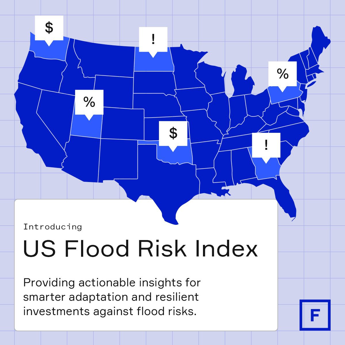
To support flood risk professionals and asset stakeholders in better understanding the risk in their state, Fathom has created the US Flood Risk Index.
Combining publicly available US flood risk data with Fathom’s peer-reviewed research and flood-mapping expertise, it provides actionable insights that drive adaptation strategies and inform investment decisions aimed at reducing flood risks.
Join this 30-minute data briefing to learn more about:
- Where flood risk is expected to rise the fastest, in terms of both financial loss and population exposure.
- How well states are prepared to address flood risk by analyzing the coverage and the age of FEMA’s Flood Insurance Rate Maps (FIRMs)
- Which proportion of the expected financial losses are outside FEMA’s officially designated Special Flood Hazard Areas (SFHA) – an indication of flood exposure being under-mapped and under-estimated.
- The vulnerability of road and rail infrastructure, both now and in the future.
- The research behind the data and how this index can be used to support decision-making for a more resilient future
Explore Fathom’s US Flood Risk Index
Discover how flood risk is evolving across the US—and what it means for your state. Explore Fathom’s US Flood Risk Index to uncover key insights that support smarter infrastructure planning, investment, and climate resilience.